
Moving in Lingerfield: what to know first
Homes at Lingerfield are few: a short terrace off Market Flat Lane, a handful of houses, and the static caravans of Kingfisher Holiday Park. Market Flat Lane is unlit and carries business park traffic, faster still further out, so the van pulls in off it rather than stopping on the carriageway. For a house on the terrace, say whether there is a parking space or a gateway the van can use.
Rooker Lane and Smithy Lane look like short cuts, but both are bridleways with dirt or gravel surfaces, closed to motor vehicles. For a caravan on the holiday park, ask the park beforehand where a van may stand and tell us the pitch. The school on Market Flat Lane makes the lane busier at the start and end of the school day, so a mid-morning arrival is the easier time.
Lingerfield: the local picture
Scotton Lingerfield Primary School, a North Yorkshire Council school, stands on Market Flat Lane, and the Nidd Valley Business Park and Lingerfield Business Park sit either side of the hamlet, with Lingerfield Garage and the Scotton Business Centre close by. A house here shares the lane with working traffic, so say when you book whether the van can pull in off the road.
Open country starts straight away. Kingfisher Holiday Park is about 450 metres off, Shaw Beck runs past, Cold Keld Wood is close by, and the Farnham Gravel Pits nature reserve, looked after by the Harrogate & District Naturalists' Society, is just over half a kilometre away, near where HG5 9JW falls in Farnham parish.
How the van gets to Lingerfield
Market Flat Lane is the road through Lingerfield; it carries a 7.5-tonne weight limit, which does not affect the van. From Knaresborough the van takes Scriven Road north and follows Market Flat Lane out past Scriven, while Low Moor Lane and Stang Lane are the other lanes nearby. Allow roughly 45 to 60 minutes for the van to arrive from Bradford, as an estimate.
Man and van services in Lingerfield
Each card opens our Knaresborough page for that service.
House Removals
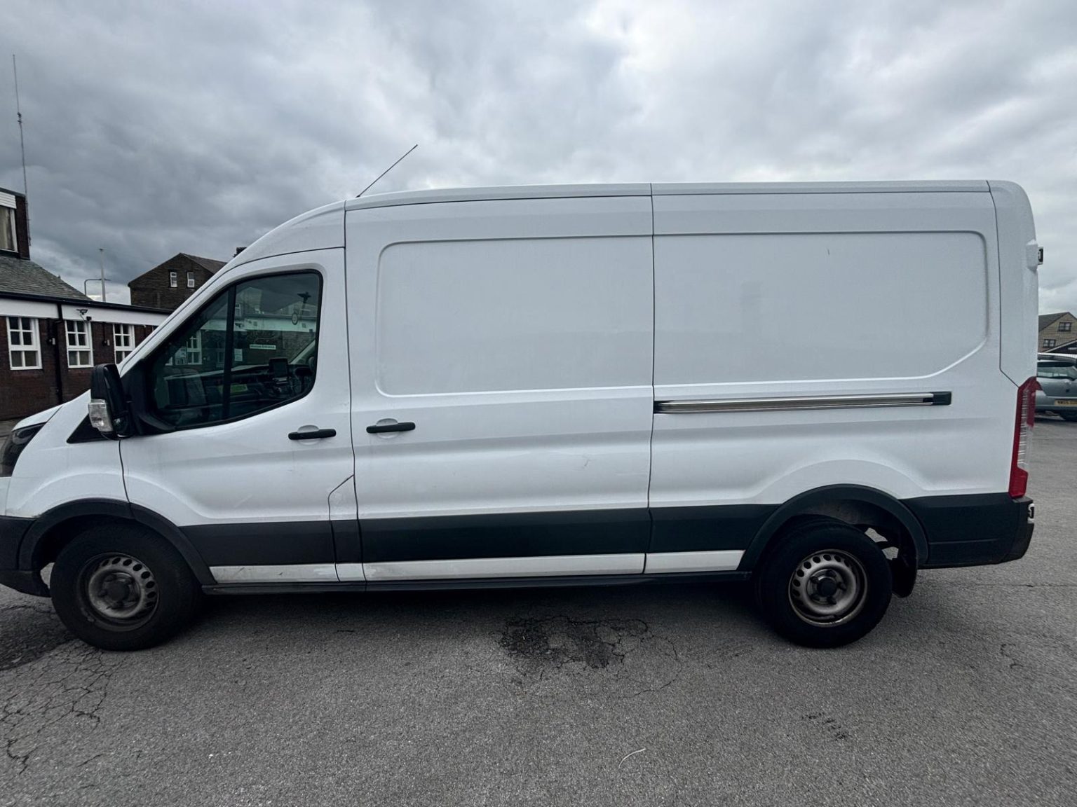
One- and two-bed homes moved with a driver and a Transit LWB van; bigger homes go in two loads.
Learn moreFlat & Apartment Removals
Lifts, stairs, loading bays and building paperwork planned before the van arrives.
Learn moreFurniture & Large Item Transport
Wardrobes, tables and bulky items moved from A to B without a full removals package.
Learn moreAppliance Delivery
Washing machines, fridges and cookers moved, secured and placed in your kitchen.
Learn moreMarketplace & eBay Collection
Bought it on Marketplace, eBay or Gumtree? We collect from the seller and bring it to you.
Learn moreStudent Removals
Halls, shared houses and home again, priced for a room's worth of belongings.
Learn moreEvery service we offer near Lingerfield
All 11 services run to Lingerfield, each with its own page.
Common Lingerfield routes
- Lingerfield → KnaresboroughMarket Flat Lane and Scriven Road to the A6055 Boroughbridge Road
- Lingerfield → Harrogatethrough Knaresborough and out on the A59 Knaresborough Road
- Lingerfield → BradfordKnaresborough and the A658 west, roughly 45 to 60 minutes
Frequently asked questions: man with a van in Lingerfield
The school is called Scotton Lingerfield. Which village is it actually in?
It is on Market Flat Lane at Lingerfield, inside Scotton parish, about 800 metres from the hamlet itself. For a house nearby, the postcode, such as HG5 9JH, is the surest guide for the van.
Can you move the contents of a static caravan at Kingfisher Holiday Park?
Yes, the furniture and boxes go like any small move. The park is about 450 metres from the hamlet off Market Flat Lane; check its rules on vehicles first and give us the pitch number.
Can the van cut through on Rooker Lane or Smithy Lane?
No. Both are public bridleways, with dirt or gravel surfaces and no motor vehicles allowed, so the van stays on Market Flat Lane and the roads around it.
Where the local details on this page come from
Checked on 1 October 2026 against:
- postcodes.io (ONS data): postcode, ward and parish lookups for HG5 9JH, HG5 9JA, HG5 9NL and HG5 9JW
- OpenStreetMap: street map, road data and driving routes