
Moving in Langbar: what to know first
Langbar is walled farmland rather than a village street. Hardings Lane is the one through road, a tarmac lane, and almost every house sits at the end of its own drive or track off it. There are field gates and cattle grids all round the hamlet, and Badgers Gate, the asphalt lane to some of the houses, is private and unlit. Named homes include Oddy House, Blackhill House, Low Lathe, Spring Well House and Beacon Hill House, with the houses at Wards End and Brass Castle.
Langbar Lane and Paul Lane begin as tarmac and then become tracks, bridleway and footpath, which is no surface for a loaded van, so a house along either needs a plan for the last stretch. Hardings Lane runs both ways out of the hamlet: east over Langbar Road towards Ilkley, and west down Lanshaw Bank to Beamsley and the A59, which is the quicker way for a move towards Skipton.
Langbar: the local picture
Hardistys, beside the lane, is the one listed house: whitewashed gritstone, dated 1702 on a plaque over the door, with a mix of windows that includes oval ones. Around it are Leyfield, Spring Well Farm and Oliver, and a little to the north the houses at Brass Castle. Paul Lane runs off, tarmac at first and then a track, and is a public footpath.
Langbar Moor, Middleton Moor and Low Moor surround the hamlet, and the ground was worked for stone, with old sandstone quarries, Black Hill Delves, Moor Delfs and an old slate delf, and the Black Foss waterfall on the moor edge. A farmhouse this high up may be reached by a long track, so say how the van gets to the door.
How the van gets to Langbar
From Bradford the van crosses Baildon and Hawksworth to Moor Road and Cowpasture Road into Ilkley, crosses the Wharfe, then follows Denton Road and Nesfield Road west before turning up Langbar Road and along Hardings Lane for almost four kilometres. Currer Lane is the other tarmac lane close by.
Removals and deliveries in Langbar
Each card opens our Ilkley page for that service.
House Removals
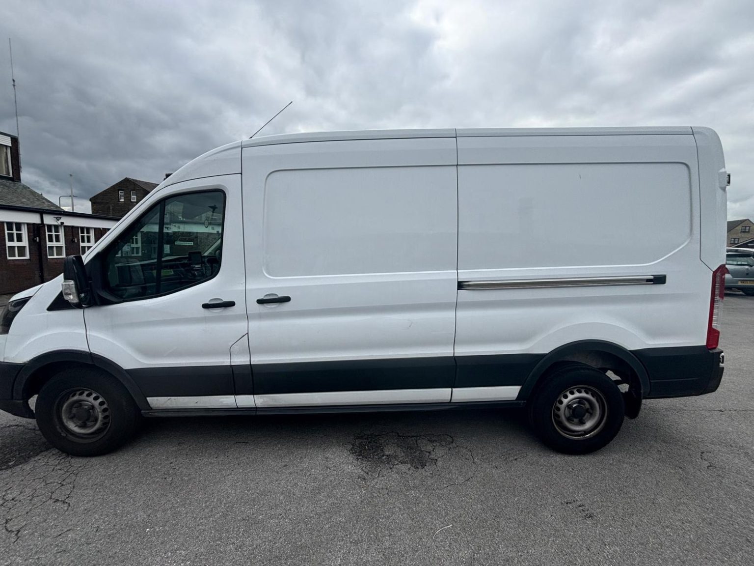
One- and two-bed homes moved with a driver and a Transit LWB van; bigger homes go in two loads.
Learn moreFlat & Apartment Removals
Lifts, stairs, loading bays and building paperwork planned before the van arrives.
Learn moreFurniture & Large Item Transport
Wardrobes, tables and bulky items moved from A to B without a full removals package.
Learn moreAppliance Delivery
Washing machines, fridges and cookers moved, secured and placed in your kitchen.
Learn moreMarketplace & eBay Collection
Bought it on Marketplace, eBay or Gumtree? We collect from the seller and bring it to you.
Learn moreStudent Removals
Halls, shared houses and home again, priced for a room's worth of belongings.
Learn moreEvery service we offer near Langbar
All 11 services run to Langbar, each with its own page.
Common Langbar routes
- Langbar → IlkleyHardings Lane, Langbar Road, Nesfield Road and Denton Road over the Wharfe, about 3.5 miles
- Langbar → Skiptonwest on Hardings Lane and down Lanshaw Bank to Beamsley, then the A59 Bolton Bridge bypass, about 9 miles
- Langbar → Bradfordthrough Ilkley, up Cowpasture Road and Moor Road over to Hawksworth, then down through Baildon
Frequently asked questions: man with a van in Langbar
Where does the tarmac end on Langbar Lane?
After a short way. Langbar Lane is a tarmac service road for a little way, then an unpaved track and public bridleway. If your house is along it, tell us where the tarmac ends in relation to your gate.
Will there be gates to open on the way to a Langbar farmhouse?
Quite possibly. There are field gates and cattle grids all round the hamlet, and some drives are private. Say how many gates lie between Hardings Lane and your door, and whether any are locked or coded, so nothing holds the van up on the day.
Does the van come in from the Ilkley side or the Beamsley side?
It depends on the trip. From Bradford or Ilkley it comes over the Wharfe and up Langbar Road to Hardings Lane; for a move to or from Skipton, Hardings Lane west down Lanshaw Bank to the A59 at Beamsley is the shorter way.
Nearby areas
Where the local details on this page come from
Checked on 1 October 2026 against:
- postcodes.io (ONS data): postcode, ward and parish lookups for LS29 0EW and LS29 0EN
- Nesfield (Wikipedia): civil parish of Nesfield with Langbar, population 180 at the 2011 census
- Listed buildings in Nesfield with Langbar (Wikipedia)
- OpenStreetMap: street map, road data and driving routes