
Moving in Ovenden: what to know first
Ovenden's homes come in two kinds. The older stone terraces sit on short streets near the main road, such as Jubilee Street North, Foundry Street North, Burns Street, Maude Street and Smith's Terrace, where the van stops at the end of the row if the street is full. Between the older pockets are the post-war council estates: the Grove, Rugby, Athol and Denfield streets and Moorlands Drive, many with pavements on both sides and room for the van near the house.
Keighley Road and Ovenden Road, the A629, are a busy 30 mph main road, so the van loads in a side street rather than standing on it. Ovenden Way is one-way, and Sod House Green, Denfield Lane and Club Lane each have a one-way stretch, so say which end you are nearer. Moffatt Close is setted and Chapel Street North unsurfaced. Moorside Community Primary School brings school-run traffic, so a mid-morning start is easier. The eight Grove streets have near-identical names, so check yours.
Ovenden: the local picture
Ovenden is two layers of housing. The older one is pockets of Victorian streets and shops with mills nearby; the newer one came after the Second World War, when much of the open ground between those pockets was built over with council housing, prefabs, shops and schools. A few larger Victorian houses stand among the modern ones. Ovenden Hall, from about 1662, is listed Grade II*, and New Providence United Reformed Church is listed Grade II.
Ovenden Post Office, a Tesco Express and Moorside Community Primary School are all on the northern side of the area, near Keighley Road. The Grove area, with Grove Park, Grove Avenue and the streets round it, is an easy reference point, and Ovenden's own station closed to passengers in 1955, so the nearest trains are at Halifax.
How the van gets to Ovenden
The A629 is the spine: Ovenden Road runs up from Halifax on the east side, and it continues as Keighley Road to the north towards Illingworth and Denholme. Nursery Lane, Wheatley Road and Ovenden Way branch off to the west, and Cousin Lane leads towards Wheatley. From Bradford, the van can come over Queensbury on the A647 and down through Boothtown to reach the A629.
Removals and deliveries in Ovenden
Each card opens our Halifax page for that service.
House Removals
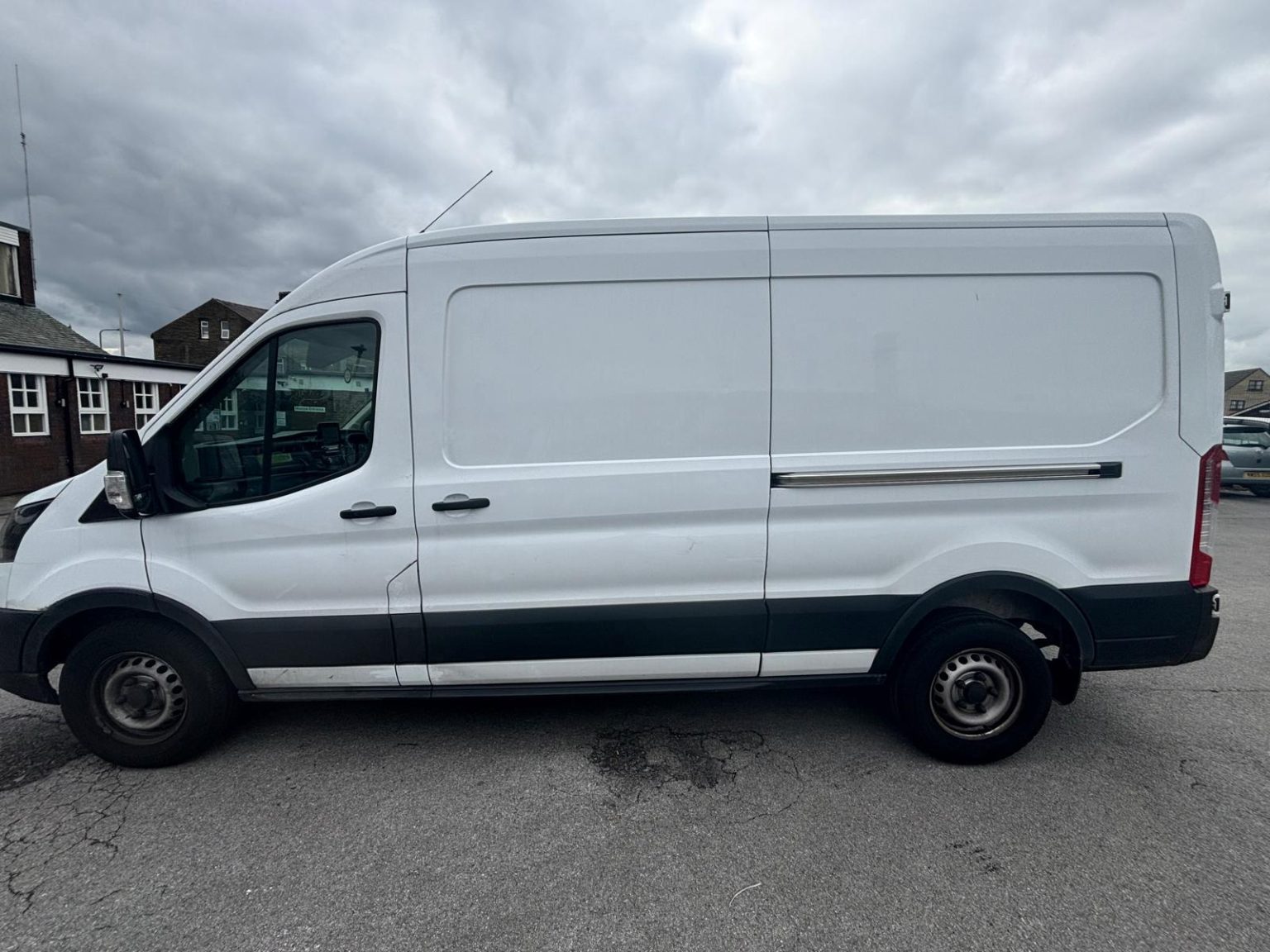
One- and two-bed homes moved with a driver and a Transit LWB van; bigger homes go in two loads.
Learn moreFlat & Apartment Removals
Lifts, stairs, loading bays and building paperwork planned before the van arrives.
Learn moreFurniture & Large Item Transport
Wardrobes, tables and bulky items moved from A to B without a full removals package.
Learn moreAppliance Delivery
Washing machines, fridges and cookers moved, secured and placed in your kitchen.
Learn moreMarketplace & eBay Collection
Bought it on Marketplace, eBay or Gumtree? We collect from the seller and bring it to you.
Learn moreStudent Removals
Halls, shared houses and home again, priced for a room's worth of belongings.
Learn moreEvery service we offer near Ovenden
All 11 services run to Ovenden, each with its own page.
Common Ovenden routes
- Ovenden → HalifaxNursery Lane to Keighley Road, then the A629 Ovenden Road down into the centre, about 1.8 miles
- Ovenden → Denholmethe A629 north as Keighley Road, Causeway Foot and Halifax Road into Denholme, about 5.1 miles
- Ovenden → BradfordKeighley Road, then Shay Lane, Churn Milk Lane and Howcans Lane to the A647 at Queensbury, and on through Great Horton, roughly 25 to 35 minutes
Frequently asked questions: man with a van in Ovenden
There are several Grove streets in Ovenden. How do I make sure the van finds mine?
Give the full street name and the HX3 postcode. Grove Park, Grove Avenue, Grove Square, Grove Drive, Grove Croft, Grove Gardens, Grove Edge and Grove Royd sit close together, so 'the Grove' alone is not enough.
Where is Ovenden Wood?
Across the Hebble Brook valley to the west, in the Warley ward with an HX2 postcode. Ovenden itself is its own ward, and its postcodes here begin HX3.
How far is Ovenden from Halifax station?
About two miles down the A629 Ovenden Road. Halifax is the nearest station, since Ovenden's closed to passengers in 1955, which matters if you are travelling separately from the van.
Nearby areas
Where the local details on this page come from
Checked on 1 October 2026 against:
- postcodes.io (ONS data): postcode, ward and parish lookups for HX3 5SW
- Ovenden (Wikipedia): about a mile from Halifax, next to Boothtown and Illingworth, Calderdale ward of 12,351 at the 2011 census
- Listed buildings in Ovenden (Wikipedia, from the National Heritage List): Ovenden Hall c. 1662, Grade II*; United Reformed Church, Grade II
- A629 road (Wikipedia): Keighley to Halifax through Denholme, Illingworth and Ovenden
- OpenStreetMap: street map, road data and driving routes