
Moving in Cowling: what to know first
Cowling's housing comes in two kinds. The terraces off Keighley Road, such as Royd Street, Gibb Street, Sun Street, Queen Street and Walton Street, were built for mill workers, and the van stops in the side street as near as parked cars allow rather than on the A6068 itself, the busy through road to Colne. The newer housing is on closes such as Pinnacle View, Laycock Fields, Acre Meadow, Carr Meadows, Lingcrag Gardens and Wainmans Close, where the van can usually stop right outside.
A few roads are private, including part of Manor Park and The Old Saw Mill, so if your home is on one, tell us about any gate or residents' parking. Gill Lane, up to the church and the school, is lit with a pavement on one side, and Shop Lane above the village has neither lights nor pavement, so a winter move there is best started early. The stone farmhouses round the parish can have low doorways, so measure big pieces first.
Cowling: the local picture
Cowling was once separate hamlets, Ickornshaw, Middleton, Gill and Cowling Hill. The village most people now know grew along the Keighley to Colne road once mills were built beside it, the first being Ickornshaw Mill in 1791, with terraced cottages built for the mill workers. The terraced streets off Keighley Road include Royd Street, Gibb Street, Sun Street, Queen Street, Walton Street and Woodland Street. The mills have all closed and their sites are now mostly housing and the village hall; names such as Carr Mill Mews and Mill Croft recall them.
Because the centre moved to the main road, Holy Trinity Church, built in 1844 to 1845, and the primary school stand out between Ickornshaw and Middleton rather than in the middle of the village. The parish has 38 listed buildings, mostly stone farmhouses with stone slate roofs, the Grade II* Long Croft among them, and a small country house of the 1750s, Carr Head Hall. On Ickornshaw Moor a memorial cairn marks Philip Snowden, the Chancellor of the Exchequer who was born here.
How the van gets to Cowling
From Bradford the route is up the Aire valley to the large roundabout between Cross Hills and Kildwick, where the A6068 leaves the A629. The A6068 runs west through Cross Hills and Glusburn and becomes Keighley Road as it passes through Cowling. Gill Lane and Old Lane turn off it for the church and Middleton, and Dick Lane also leaves the main road in the village.
What we move in Cowling
Each card opens our Silsden page for that service.
House Removals
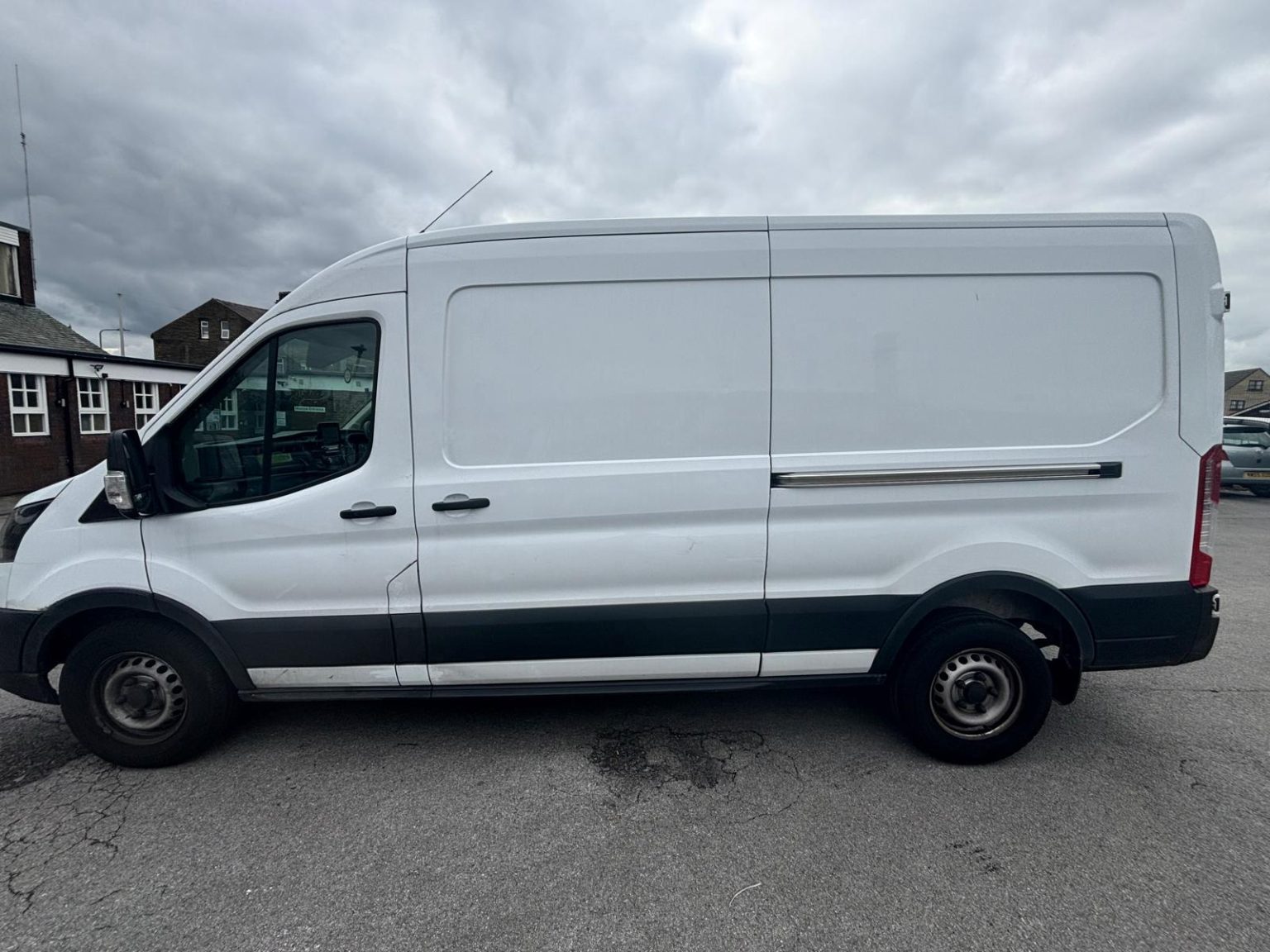
One- and two-bed homes moved with a driver and a Transit LWB van; bigger homes go in two loads.
Learn moreFlat & Apartment Removals
Lifts, stairs, loading bays and building paperwork planned before the van arrives.
Learn moreFurniture & Large Item Transport
Wardrobes, tables and bulky items moved from A to B without a full removals package.
Learn moreAppliance Delivery
Washing machines, fridges and cookers moved, secured and placed in your kitchen.
Learn moreMarketplace & eBay Collection
Bought it on Marketplace, eBay or Gumtree? We collect from the seller and bring it to you.
Learn moreStudent Removals
Halls, shared houses and home again, priced for a room's worth of belongings.
Learn moreEvery service we offer near Cowling
All 11 services run to Cowling, each with its own page.
Common Cowling routes
- Cowling → Keighleyeast along the A6068 to the big roundabout at Kildwick and down the A629 into Keighley
- Cowling → Colnewest on the A6068, the old Keighley to Colne road into Lancashire
- Cowling → Bradfordthe A6068 through Glusburn and Cross Hills to the Kildwick roundabout, then the A629 down the Aire valley through Keighley, roughly 30 to 45 minutes
Frequently asked questions: man with a van in Cowling
Will the van fit in the private roads at Manor Park or The Old Saw Mill?
Usually, but tell us about any gate code, barrier or residents' parking rules before the day, because part of Manor Park and The Old Saw Mill are private roads.
Does the van come to Cowling through Cross Hills and Glusburn?
Yes, roughly 30 to 45 minutes from Bradford in all. The van comes up the Aire valley to the large roundabout between Cross Hills and Kildwick, then west on the A6068 through Cross Hills and Glusburn, where it becomes Keighley Road through Cowling.
Where does the van stop for a terraced house off Keighley Road?
On your own side street, as close to the door as parked cars allow. Streets such as Royd Street, Gibb Street and Sun Street were built as mill workers' terraces off the main road, and stopping on the A6068 is a last resort. A photo of the street outside helps us plan.
Also covered around Cowling
Ickornshaw, Lane Ends, Park.
Areas near Cowling we cover
This place has its own page, with local detail and how the van gets there.
Nearby areas
Where the local details on this page come from
Checked on 1 October 2026 against:
- postcodes.io (ONS data): postcode, ward and parish lookups for BD22 0HG, BD22 0ND, BD22 0SJ and BD22 0NH
- Cowling (Wikipedia): pronunciation, borders West Yorkshire and Lancashire, 2,355 people in 2011, former hamlets Ickornshaw
- Listed buildings in Cowling (Wikipedia, from the National Heritage List for England): 38 listed buildings, mostly stone farmhouses with stone slate roofs; Holy Trinity Church 1844-45
- Cross Hills (Wikipedia): the A6068 trans-Pennine route from Colne joins the A629 at the large roundabout between Cross Hills and Kildwick
- OpenStreetMap: street map and road data
- A629 road (Wikipedia): Skipton to Keighley through the Aire valley, bypassing Farnhill and Kildwick