
Moving in Upper Cumberworth: what to know first
Most homes stand along Barnsley Road, the A635, or on the short closes behind it: Carr Mount, Wells Mount, Carr Green, The Croft and Green Nook Close. Barnsley Road is a through road, 40 mph past the village and 60 mph beyond it, with a footway on one side only, so a van left at the kerb there is in everyone's way. If your house fronts it, a drive or the nearest close is the better place to load; tell us which you have.
Away from the main road the lanes are country lanes. Park Lane is one-way where it is surfaced and turns into a gravel lane about 4 metres wide further on, Rowgate has no street lights and narrows to a single lane, and Carr Lane has no footway. The Star's car park is for its customers, so ask the pub before anyone coming to the move leaves a car there. For a house on one of the lanes, send a photo of the gateway.
Cumberworth Church of England First School is in the village, so on a weekday the drop-off and pick-up fill the kerb near it for a short spell, and a start between those times keeps the van clear. Upper Cumberworth is the higher of the two Cumberworths, up on the A635 above Lower Cumberworth and the Dearne woods, so if the forecast is for snow or ice, ring the day before to talk the timing through.
Upper Cumberworth: the local picture
The old heart of the village is St Nicholas' church, whose churchyard keeps a set of stocks by the entrance. The Senior family, who ran the Seth Senior brewery in Shepley, are buried there. Around it the houses line Barnsley Road, Carr Hill Road, Rowgate and Cumberworth Lane, with small closes such as Carr Mount, Wells Mount, Carr Green and Green Nook Close. 31 Carr Hill Road, a stone house of the early to mid 19th century, is Grade II listed.
Day to day, the village has The Star pub, a village store with the post office counter, and Cumberworth Church of England First School. The woods below the village run down towards Birds Edge and are looked after by the Upper Dearne Woodlands Conservation Group; their footpaths are not a way in for a van, so give the street address rather than a path when you book.
How the van gets to Upper Cumberworth
The A635 Barnsley Road is the through road. It comes east from Shepley Lane Head, where it crosses the A629 Huddersfield to Penistone road, runs past the village and carries on towards Denby Dale and Barnsley. From Bradford the van reaches the A629 by way of Huddersfield and turns on to the A635 at Lane Head.
Booking a man and van in Upper Cumberworth
Each card opens our Holmfirth page for that service.
House Removals
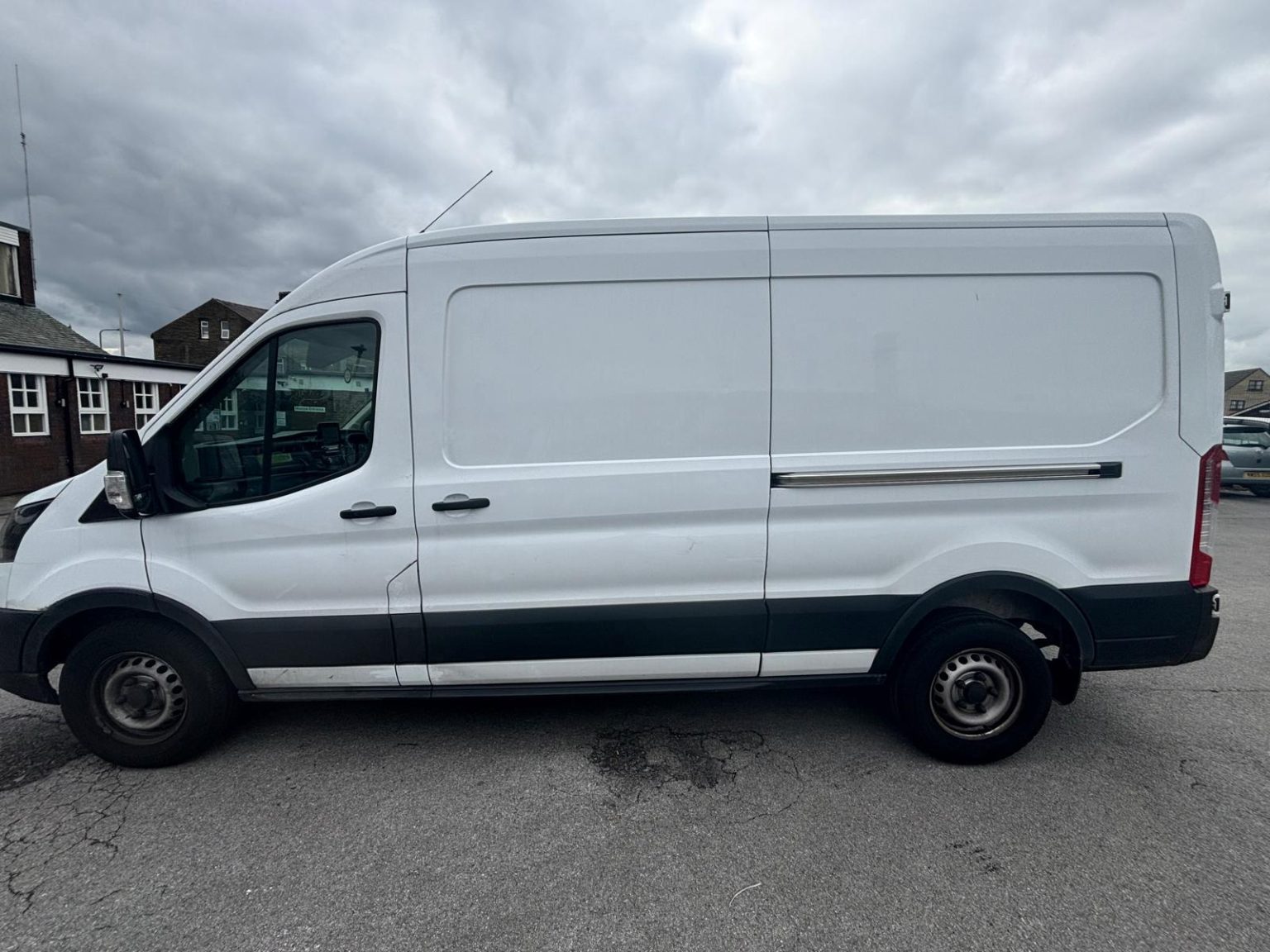
One- and two-bed homes moved with a driver and a Transit LWB van; bigger homes go in two loads.
Learn moreFlat & Apartment Removals
Lifts, stairs, loading bays and building paperwork planned before the van arrives.
Learn moreFurniture & Large Item Transport
Wardrobes, tables and bulky items moved from A to B without a full removals package.
Learn moreAppliance Delivery
Washing machines, fridges and cookers moved, secured and placed in your kitchen.
Learn moreMarketplace & eBay Collection
Bought it on Marketplace, eBay or Gumtree? We collect from the seller and bring it to you.
Learn moreStudent Removals
Halls, shared houses and home again, priced for a room's worth of belongings.
Learn moreEvery service we offer near Upper Cumberworth
All 11 services run to Upper Cumberworth, each with its own page.
Common Upper Cumberworth routes
- Upper Cumberworth → Denby Daleeast along the A635 Barnsley Road, about 1.8 miles
- Upper Cumberworth → HuddersfieldCumberworth Lane to the A629, the A635 to New Mill, then the A616 down the Holme Valley, about 9 miles
- Upper Cumberworth → Bradfordthe A635 to Shepley Lane Head and the A629 north through Shepley, then Dalton Bank Road, the A644, the M62 and the M606, roughly 40 to 50 minutes
Frequently asked questions: man with a van in Upper Cumberworth
Where does the van load if my house fronts Barnsley Road?
On your drive or in the nearest close, such as Carr Mount, Wells Mount, Carr Green, The Croft or Green Nook Close. Barnsley Road is 40 mph past the village with a footway on one side only, so a van left at the kerb is in everyone's way; tell us which you have.
Does the weight limit on Carr Hill Road affect a move?
It can. Part of Carr Hill Road has a 3-tonne limit, and the signs decide which vehicles may pass, so for Carr Hill addresses we check the limit and plan the approach from the end that avoids it if needed. Give the house number when you book.
Which way is it to Huddersfield from Upper Cumberworth?
About 9 miles west along the A635 to New Mill and down the A616, which is the usual line; north on the A629 through Shepley is the alternative.
Is Upper Cumberworth the same place as Lower Cumberworth?
No. They are two villages a short way apart in the same parish and the same HD8 postcode district: Upper Cumberworth is the village on the A635 by St Nicholas' church, and Lower Cumberworth lies below it. Put the full postcode and house name on the booking.
Nearby areas
Where the local details on this page come from
Checked on 19 October 2026 against:
- postcodes.io (ONS data): postcode, ward and parish lookups for HD8 8XQ
- Upper Cumberworth (Wikipedia): between Denby Dale and Shepley, above Lower Cumberworth, Denby Dale parish
- Shepley (Wikipedia): the Senior brewing family buried in the churchyard at Upper Cumberworth
- Listed buildings in Denby Dale (Wikipedia, from the National Heritage List): 31 Carr Hill Road, Grade II, early to mid 19th century
- OpenStreetMap: street map, road data and driving routes