
Moving in Heaton: what to know first
The old village round Highgate, Syke Road and Shay Lane is stone cottages and terraces, some stepped down the hill, and several streets here are still laid in setts: Rossefield Road, Paradise Road, Hilda Street and parts of Syke Road. Nog Lane is partly setts and partly unmade. The van manages setts, but a trolley is slower on them, so allow extra time, and for a cottage on a slope tell us how many steps there are between the pavement and the door.
Highgate is the village street, with the King's Arms, the post office and the pharmacy, and St Bede's and St Joseph's Catholic College has a Highgate address too, so the road is at its fullest at school times. St Barnabas' primary is on Rossefield Road, one of the setted streets. The newer closes, such as Lynton Drive, Haslingden Drive, Ambleside Avenue and the Wheatlands streets, are quiet residential roads; if your house there has a drive, the van can load from it.
Toller Lane, the B6144, runs along the southern side and is the quickest way out towards the city and Bingley, but it is busy from morning to evening, so a house that fronts it is better loaded from a side road or back street if there is one. Coming from Emm Lane, Highgate is the way into the old centre. When you book, give the street and the nearest junction, and say whether the van can use a drive, a back street or only the kerb.
Heaton: the local picture
The village core is older than most of Bradford's suburbs. 7 Shay Lane and Royds Hall Farmhouse, the second listed Grade II*, both carry the date 1632, and 23 and 25 Syke Road date from 1736. On Highgate, 72 to 82 are a row of cottages stepped down the hill, 56 to 68 another row, and 18 and 20 a house and a shop of the late 18th century. With cottages of that age, measure the stairs before planning where a wardrobe will go.
Heaton is in Bradford Council's Heaton and Frizinghall ward, with Frizinghall the district to the north-east around its station. Bradford Grammar School and St Bede's and St Joseph's both bring school traffic into the ward. Heaton Woods cover nearly 50 acres from Park Drive and Redburn down to the Cat Steps at the bottom of Quarry Street; the Cat Steps are a footpath, so give the driver the street address rather than the woodland end.
How the van gets to Heaton
Toller Lane, the B6144, runs out from the city past Heaton, meeting Leylands Lane and Heaton Park Drive, and carries on west as Haworth Road. On the eastern side, Heaton Road runs north from Scotchman Road to Emm Lane, where it also meets Highgate, so Highgate is the way into the old centre from that direction.
Booking a man and van in Heaton
Each card opens our Shipley page for that service.
House Removals
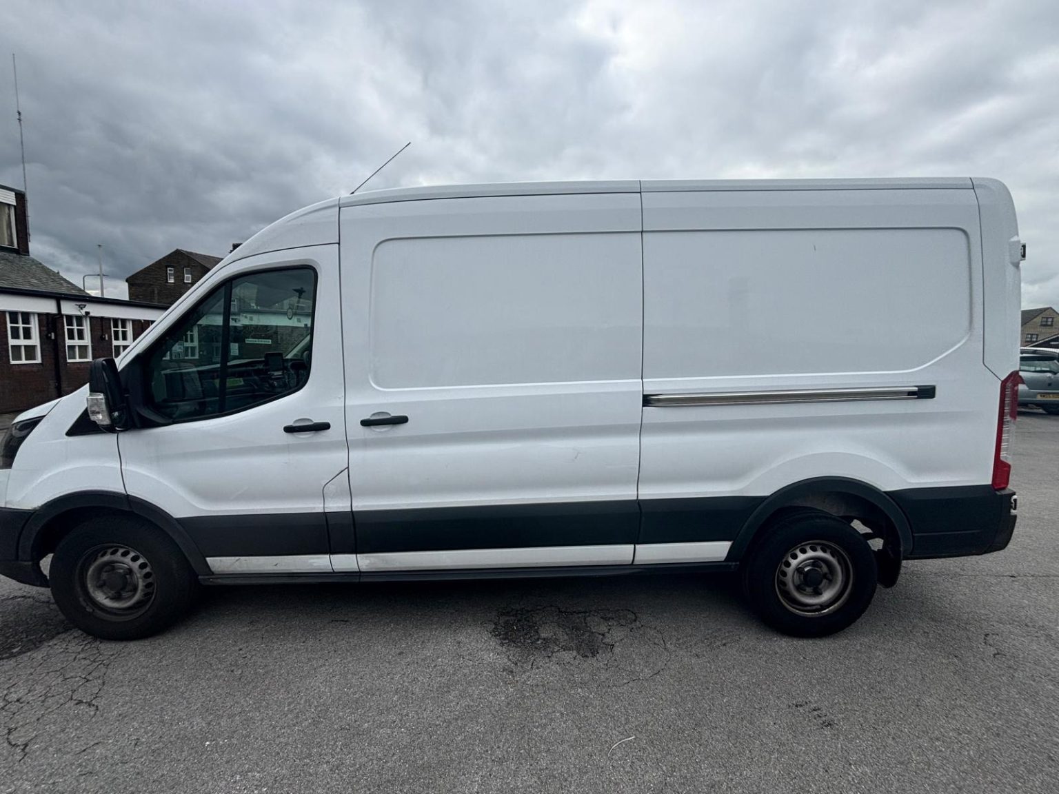
One- and two-bed homes moved with a driver and a Transit LWB van; bigger homes go in two loads.
Learn moreFlat & Apartment Removals
Lifts, stairs, loading bays and building paperwork planned before the van arrives.
Learn moreFurniture & Large Item Transport
Wardrobes, tables and bulky items moved from A to B without a full removals package.
Learn moreAppliance Delivery
Washing machines, fridges and cookers moved, secured and placed in your kitchen.
Learn moreMarketplace & eBay Collection
Bought it on Marketplace, eBay or Gumtree? We collect from the seller and bring it to you.
Learn moreStudent Removals
Halls, shared houses and home again, priced for a room's worth of belongings.
Learn moreEvery service we offer near Heaton
All 11 services run to Heaton, each with its own page.
Common Heaton routes
- Heaton → ShipleyLeylands Lane, Highgate and Emm Lane to the A650, then the A6038 into Shipley, about 2.4 miles
- Heaton → BingleyLeylands Lane and the B6144 Toller Lane to the B6269 Bingley Road, then the B6146 through Cottingley, about 3.9 miles
- Heaton → Bradforddown the B6144 Toller Lane, Whetley Hill, White Abbey Road and Westgate, roughly 10 to 20 minutes
Frequently asked questions: man with a van in Heaton
I'm leaving an old cottage on Highgate or Shay Lane. What should I check first?
Check the stairs and doorways. Houses dated from the 1630s to the 1700s can have narrow, turning stairs, so measure the tightest point and tell us about wardrobes, sofas or a bed that went in before a renovation. We dismantle the bed upstairs and put it together again at the new address at no extra cost.
Which side of Heaton is nearest Bradford Royal Infirmary?
The south-western side. The infirmary's grounds lie along that edge of Heaton and the hospital is entered from Duckworth Lane, so streets there pick up hospital traffic through the day. Name your junction as well as the street.
Is school traffic a problem in Heaton?
It can be at the start and end of the day. Bradford Grammar School and St Bede's and St Joseph's Catholic College are both in the ward, so a mid-morning start often runs more smoothly on the roads near them.
Also covered around Heaton
Daisy Hill.
Nearby areas
Where the local details on this page come from
Checked on 1 October 2026 against:
- postcodes.io (ONS data): postcode, ward and parish lookups for BD9 5QT and BD9 6AA
- Heaton, West Yorkshire (Wikipedia): area of Bradford, Heaton Woods towards Shipley, Bradford Grammar School, the Bishop's residence
- Frizinghall (Wikipedia): district 2 miles north of the city centre with its railway station
- Heaton Woods (Wikipedia): Heaton Woods Trust set up in 1977
- Listed buildings in Heaton ward (Wikipedia, from the National Heritage List): 7 Shay Lane and Royds Hall Farmhouse (1632), 23 and 25 Syke Road (1736), Highgate rows
- OpenStreetMap: street map, road data and driving routes