
Moving in Castley: what to know first
Castley is a scatter of farms and houses at the bottom of the valley, beside the Wharfe and under the Arthington Viaduct. The only road in is Castley Lane, single-track with no lighting and at the national limit, and Chapel Hill Lane is a smaller service road off it. There is nowhere on the lane to leave a long van without blocking it, so the van uses a yard, drive or farm gateway.
Most addresses are farms or old farmhouses, such as Castley Hall and Manor Farmhouse, White House Farm and Top of Lane, so the house name matters more than a number. Trains on the Harrogate line cross the viaduct overhead without stopping, so there is no station traffic. The thing to plan is turning: a long van cannot turn round on a single-track lane, so tell us whether your yard or gateway has room for it, or where the nearest wide gateway is.
Castley: the local picture
Most of the long railway viaduct across the Wharfe valley stands within Castley parish, and it still carries the Leeds to Harrogate line, so it is the landmark to give. Castley Hall and Manor Farmhouse, a gritstone house with a stone slate roof, is the main listed home.
The two other listed items are small but useful for finding your way: a boundary stone of 1767 on Castley Lane, and a milepost on the south side of Harrogate Road inscribed Dudleyhill and Killinghall. Castley was in the Borough of Harrogate until 2023, and bins and council tax now go through North Yorkshire Council.
How the van gets to Castley
The A658 Harrogate Road passes Castley as a fast main road where the van cannot stop, and Castley Lane is the lane into the hamlet, with Castley Bridge on the local road network. From Bradford the van comes out along the A658, roughly 30 to 45 minutes.
Removals and deliveries in Castley
Each card opens our Otley page for that service.
House Removals
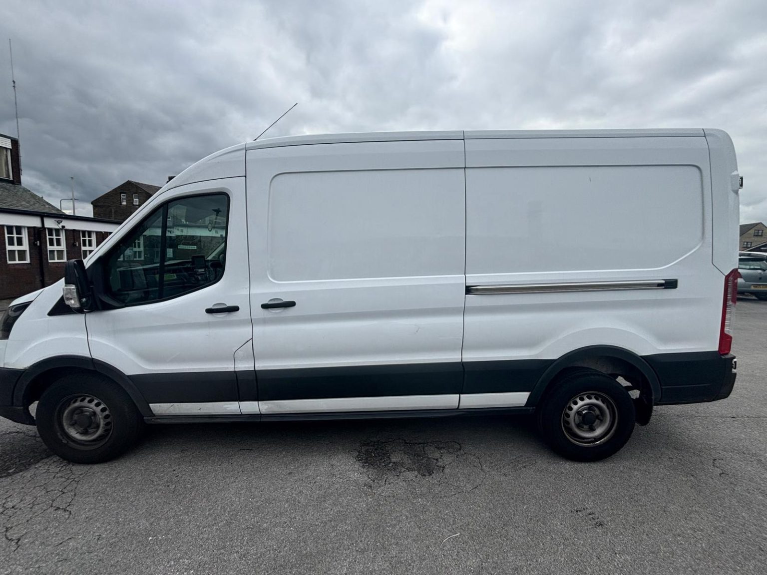
One- and two-bed homes moved with a driver and a Transit LWB van; bigger homes go in two loads.
Learn moreFlat & Apartment Removals
Lifts, stairs, loading bays and building paperwork planned before the van arrives.
Learn moreFurniture & Large Item Transport
Wardrobes, tables and bulky items moved from A to B without a full removals package.
Learn moreAppliance Delivery
Washing machines, fridges and cookers moved, secured and placed in your kitchen.
Learn moreMarketplace & eBay Collection
Bought it on Marketplace, eBay or Gumtree? We collect from the seller and bring it to you.
Learn moreStudent Removals
Halls, shared houses and home again, priced for a room's worth of belongings.
Learn moreEvery service we offer near Castley
All 11 services run to Castley, each with its own page.
Common Castley routes
- Castley → OtleyCastley Lane to the A658, then west along the A659 Pool Road
- Castley → HarrogateA658 north through Huby to the A61 Leeds Road
- Castley → BradfordA658 via Pool and the airport, roughly 30 to 45 minutes
Frequently asked questions: man with a van in Castley
Is there anywhere to park on Castley Lane on moving day?
Not on the lane itself. It is single-track and unlit, so a van standing on it blocks everyone, and the van loads in a yard, drive or farm gateway instead. Send a photo of yours with the enquiry so the stop is planned before the day.
Rotherford and Castley are both on Castley Lane. Which is which?
Rotherford is the meadow and few houses at the Pool Bridge end; Castley is the hamlet further east, under the viaduct. The full postcode, such as LS21 2PY for Castley, tells the van which end to head for.
How do I describe where Castley is?
Use the Arthington Viaduct: most of it stands in Castley parish, and the hamlet is at its foot on Castley Lane, off the A658 north of Pool Bridge. Add the farm or house name.
Where the local details on this page come from
Checked on 1 October 2026 against:
- postcodes.io (ONS data): postcode, ward and parish lookups for LS21 2PY
- Castley (Wikipedia): village and civil parish on a bend in the River Wharfe about 10 miles north of central Leeds
- Castley listed buildings (Wikipedia, from the National Heritage List): Castley Hall and Manor Farmhouse in gritstone; boundary stone 1767 of Knaresborough Forest
- OpenStreetMap: street map, road data and driving routes