
Moving in Bottom Boat: what to know first
Homes here are mostly houses, with some blocks of flats, on the Moorhouse streets, Lake Lock Grove and Lake Lock Drive and the closes near St Peter's Church Centre on Lake Lock Road. Aberford Road, the A642, is the busy main road, with one-way sections, and Kingsland Primary School, The Thatched House and the takeaway are on it, so a home on a side street is simpler to load.
Towards the river the roads change. Bottomboat Road leads down past the William Lamb works, and Lake Yard is only a track, which is no place for a long van to try to turn; for a house off it, the van waits on Bottomboat Road and the load is walked down. Around Moorhouse Stores on Moorhouse Grove the streets are short and close-set, so tell us whether you have a drive or only space at the kerb, and whether cars park on both sides in the evening.
Bottom Boat: the local picture
Most of the present houses were built for workers at Newmarket Silkstone Colliery, which closed on 29 September 1983. Long before that, from 1804, Bottom Boat was the end of the Lake Lock Rail Road, a horse-drawn line opened in 1798, which brought coal down to the Aire and Calder Navigation. A Primitive Methodist chapel was established in 1874.
The residential streets are close together: the Moorhouse roads (Grove, Avenue, Terrace, Close and View), Lake Lock Grove, Lake Lock Drive, Scarth Terrace, St Peters Crescent and Holmfield Chase, with Kingsland Primary School and The Thatched House pub nearby. The river and the Castleford Greenway lie to the east. If cars park on both sides of your street, say so when you book.
How the van gets to Bottom Boat
Aberford Road, the A642, runs through Bottom Boat and on to junction 30 of the M62 at Rothwell. From Bradford, the M606 meets the M62 at junction 26; follow the M62 east past Lofthouse to junction 30, then take the A642 south to the village. Bottomboat Road and Lake Lock Road are the village roads off the A642.
Man and van services in Bottom Boat
Each card opens our Rothwell page for that service.
House Removals
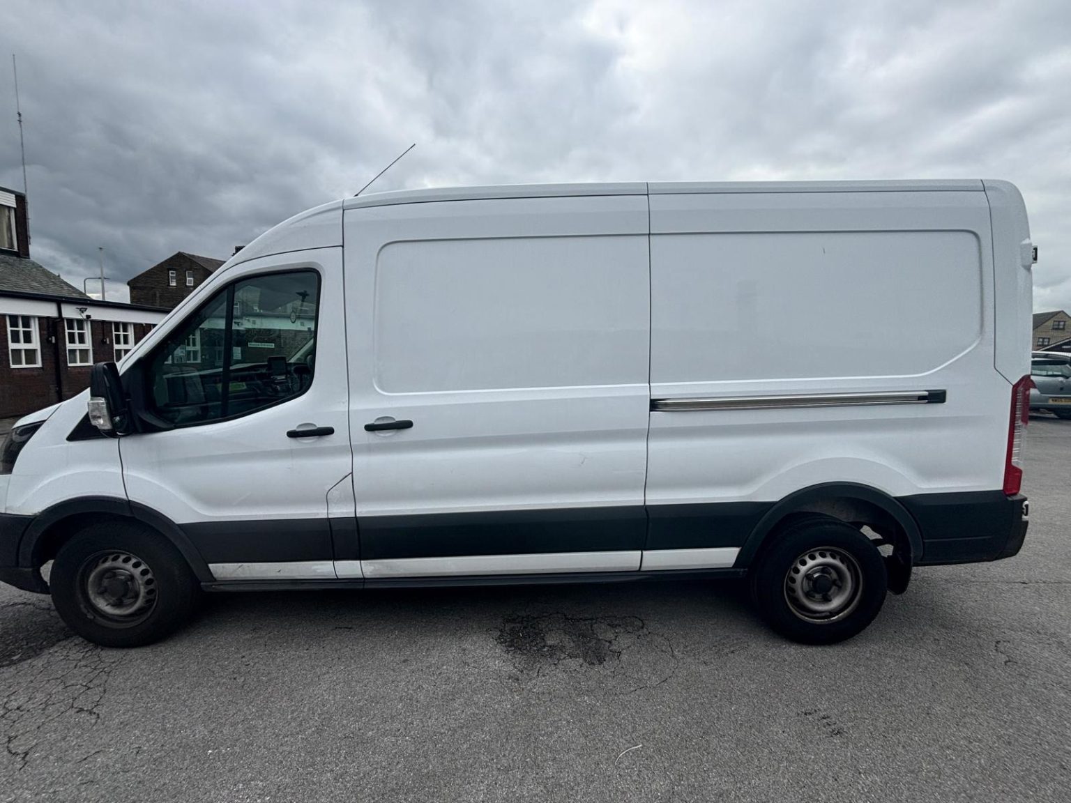
One- and two-bed homes moved with a driver and a Transit LWB van; bigger homes go in two loads.
Learn moreFlat & Apartment Removals
Lifts, stairs, loading bays and building paperwork planned before the van arrives.
Learn moreFurniture & Large Item Transport
Wardrobes, tables and bulky items moved from A to B without a full removals package.
Learn moreAppliance Delivery
Washing machines, fridges and cookers moved, secured and placed in your kitchen.
Learn moreMarketplace & eBay Collection
Bought it on Marketplace, eBay or Gumtree? We collect from the seller and bring it to you.
Learn moreStudent Removals
Halls, shared houses and home again, priced for a room's worth of belongings.
Learn moreEvery service we offer near Bottom Boat
All 11 services run to Bottom Boat, each with its own page.
Common Bottom Boat routes
- Bottom Boat → Wakefieldsouth on the A642 Aberford Road through Stanley, then Stanley Road and Peterson Road, about 5.5 km
- Bottom Boat → Leedsthe A642 north to M62 junction 30, then the M1 and the M621, about 15.5 km
- Bottom Boat → Bradfordthe A642 to junction 30 and the M62 west, then the M606, roughly 25 to 40 minutes
Frequently asked questions: man with a van in Bottom Boat
Should I put Stanley or Bottom Boat on the booking?
Either is fine, because Bottom Boat is usually counted as part of Stanley. The driver works from the street, the house number and the WF3 postcode; your council for bins and council tax is Wakefield.
My address says Moorhouse. Is that the same place for the van?
Yes. Moorhouse runs straight into Bottom Boat along Aberford Road, and Moorhouse Grove has the same WF3 postcode, so it is the same trip from the M62. Give the street name, as the Moorhouse roads (Grove, Avenue, Terrace, Close and View) sit side by side.
Does Kingsland Primary School make Aberford Road busier?
At school times, yes. Kingsland Primary School fronts the A642 Aberford Road, so the main road is busiest at drop-off and pick-up, and we time loading on nearby streets around it.
Where the local details on this page come from
Checked on 1 October 2026 against:
- postcodes.io (ONS data): postcode, ward and parish lookups for WF3 4BZ and WF3 4BS
- Bottom Boat (Wikipedia): village in the Wakefield district, 1,169 people in 2011; part of Stanley Urban District before 1974
- Stanley, West Yorkshire (Wikipedia): Bottom Boat considered part of Stanley though counted separately in 2011
- Lake Lock Rail Road (Wikipedia): opened 1798, claimed as the world's first public railway; terminus moved to Bottom Boat in 1804
- A642 road (Wikipedia): via Stanley and junction 30 of the M62
- M62 motorway (Wikipedia): the M606 joins at junction 26 (Chain Bar); the M1 interchange is Lofthouse, junction 29
- OpenStreetMap: street map, road data and driving routes