
Moving in Roberttown: what to know first
Roberttown sits on fairly level high ground, so inside the village the carry from van to door is usually flat. The older houses line Roberttown Lane and Church Road, the two main roads through the village, and many of them have no drive, so the van loads at the kerb outside on a road that carries through traffic. Say whether you have a drive, a yard or a back gate the van can use instead.
Pogg Myres Lane and Bullace Trees Lane lead north out of the village to the farms, as lanes rather than streets, and part of Bullace Trees Lane is a farm track. For a farmhouse or a converted barn out that way, send a map pin and a photo of the gateway so the van's stopping place is settled before the day.
Both main roads have a school on them. Roberttown C of E Junior and Infant School is on Church Road, and Spen Valley High School is at the Norristhorpe end of Roberttown Lane, so the village is busy at the start and end of the school day, with pupils and parents' cars on the same two roads. A mid-morning start avoids it and leaves the kerb free outside the house.
Roberttown: the local picture
Church Road is the village's spine for landmarks: All Saints', the Anglican church, stands on it, and Roberttown C of E Junior and Infant School is a short way along. Roberttown Lane is the other main street. Liversedge Cricket Club, which plays in the Central Yorkshire League, has its ground on Roberttown Lane beside the New Inn, and The Star and the working men's club are nearby, which makes any of them a clear point to give when you describe where you live.
Many homes are on closes and avenues off the main lanes: Lincoln Avenue, Fountain Drive, Meadow Lane, Wheatlands Drive and Malham Drive among them. On a close the turning head decides where a long wheelbase van can stop, so say whether it is usually kept clear, and whether the neighbours' cars tend to fill it at weekends.
How the van gets to Roberttown
The M606 from Bradford reaches the M62 at Chain Bar, and the A638 carries on from there through Cleckheaton to Millbridge, where it meets the A62. Huddersfield Road, the A62, then runs south-west past the village. Inside it, Roberttown Lane, Church Road, Lumb Lane and Child Lane connect the streets, and Fall Lane, the B6119, is the other road out.
Removals and deliveries in Roberttown
Each card opens our Liversedge page for that service.
House Removals
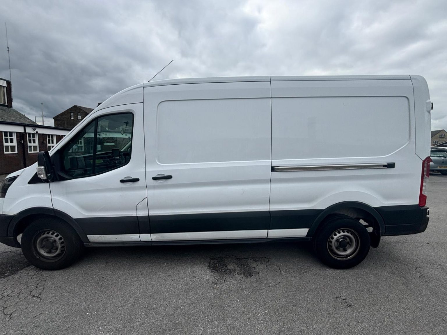
One- and two-bed homes moved with a driver and a Transit LWB van; bigger homes go in two loads.
Learn moreFlat & Apartment Removals
Lifts, stairs, loading bays and building paperwork planned before the van arrives.
Learn moreFurniture & Large Item Transport
Wardrobes, tables and bulky items moved from A to B without a full removals package.
Learn moreAppliance Delivery
Washing machines, fridges and cookers moved, secured and placed in your kitchen.
Learn moreMarketplace & eBay Collection
Bought it on Marketplace, eBay or Gumtree? We collect from the seller and bring it to you.
Learn moreStudent Removals
Halls, shared houses and home again, priced for a room's worth of belongings.
Learn moreEvery service we offer near Roberttown
All 11 services run to Roberttown, each with its own page.
Common Roberttown routes
- Roberttown → HeckmondwikeRoberttown Lane to the A62 Huddersfield Road, then the A649 Wakefield Road into the town, about 1.6 miles
- Roberttown → MirfieldRoberttown Lane, Child Lane and Sunny Bank Road, then Old Bank Road and Knowl Road to the A644, about 2.4 miles
- Roberttown → BradfordRoberttown Lane and Far Common Road (B6119) to the A62, the A644 Wakefield Road, then the M62 and M606, roughly 20 to 35 minutes
Frequently asked questions: man with a van in Roberttown
Roberttown and Norristhorpe face each other across the A62. Same council?
Kirklees Council, as for the rest of Liversedge. Roberttown and Norristhorpe sit in different Kirklees wards either side of the A62, but both are WF15 and both are Kirklees for bins and council tax.
Where exactly is Liversedge Cricket Club, if I use it as a landmark?
It is in Roberttown, on Roberttown Lane next to the New Inn public house. It is a good point to mention if your street is nearby, alongside your full address and postcode.
Is it uphill all the way from Mirfield to Roberttown?
Mostly, yes. Mirfield is down in the Calder valley and Roberttown is on the high ground above it, so Sunny Bank Road and Child Lane climb most of the way. Once in the village the streets are fairly level.
Nearby areas
Where the local details on this page come from
Checked on 19 October 2026 against:
- postcodes.io (ONS data): postcode, ward and parish lookups for WF15 7LD
- Roberttown (Wikipedia): village in the township of Liversedge, Halewood International headquarters in the 1980s and early 1990s
- Liversedge (Wikipedia): Roberttown on the opposite side of the A62 from Norristhorpe; ward split on the Leeds/Huddersfield Road
- A638 road (Wikipedia): Chain Bar through Cleckheaton to the A62 at Liversedge
- OpenStreetMap: street map, road data and driving routes