
Moving in Altofts: what to know first
Altofts is a big village of houses, from older rows near Lee Brig and High Street to later estates such as the battle-named streets, the Rose Farm streets and Silkstone Crest, which keeps the name of the demolished row. It sits low, with Lower Altofts running down towards the Calder, so the streets are gentle rather than steep. On the estates most houses have a drive or a kerb outside where the van can stand, so the main things to tell us are the street and whether there is a garage or loft to clear.
Church Road carries the post office, the One Stop, the Miners Arms, the Poplar and two nurseries as well as the infant school, so it is busiest at drop-off and pick-up, and a house on it is easier to load mid-morning. Patience Lane, with the surgery, is one-way, so the van comes at it from the right end, and Lawns Close, Langdale Avenue and Greenfield Road are private. Birkwood Road is the way out towards Wakefield, while Lee Brig and Station Road lead into Normanton for the M62.
The two rows left on Pope Street, in Lower Altofts, are three-storey terraces, the survivors of the old colliery housing, so a move there can mean carrying furniture down two flights of stairs. Say which floors are in use and measure the top flight before a large wardrobe or bed frame is booked in. Beds and flat-pack furniture are taken apart and rebuilt as part of the job, which helps on narrow terrace stairs.
Altofts: the local picture
Church Road runs through the village. Along it are Altofts Methodist Church, opened in 1990 when three Methodist congregations joined, the Hebron church, Martin Frobisher Infant School, the war memorial and two of the village's four pubs, the Robin Hood and the Horse and Jockey, the oldest of them. Lee Brig has the infant and nursery school and a chemist, and The Brig community centre, a former working men's club, is on St Mary's Road near the parish church of St Mary Magdalene.
Lower Altofts, at the bottom of the village towards the river, once had Silkstone Row, said to be the longest unbroken row of three-storey terraces in Europe, until it was demolished in 1978; two shorter rows remain on Pope Street. The pit those houses served, West Riding Colliery, is where W. E. Garforth ran the first British coal-dust experiments in 1908 and 1909. Estates near Church Road have streets named after battles, such as Agincourt Drive, Bannockburn Way, Bosworth Avenue and Hastings Court.
How the van gets to Altofts
From M62 junction 31 the A655 leads to Normanton, and Altofts lies just beyond the town to the north-west. Its through roads are Church Road, High Green Road, Birkwood Road and Lee Brig. Kings Lock of 1839, on the Calder Cut of the Navigation, is down near Lower Altofts.
Man and van services in Altofts
Each card opens our Normanton page for that service.
House Removals
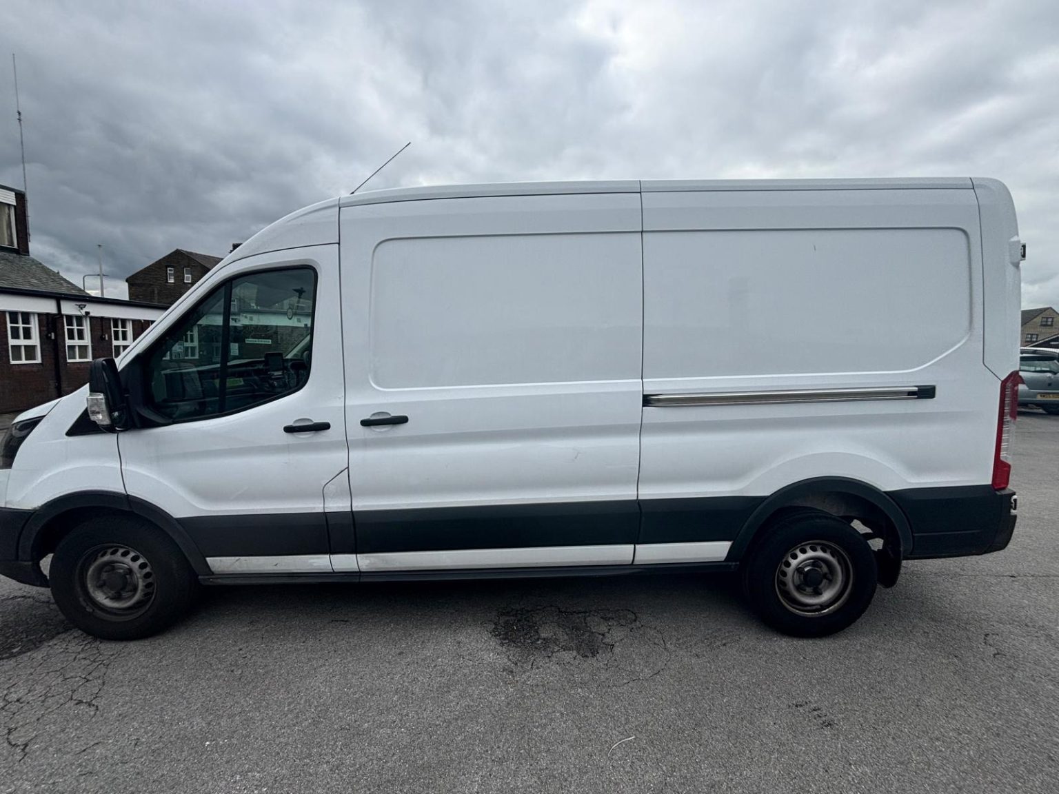
One- and two-bed homes moved with a driver and a Transit LWB van; bigger homes go in two loads.
Learn moreFlat & Apartment Removals
Lifts, stairs, loading bays and building paperwork planned before the van arrives.
Learn moreFurniture & Large Item Transport
Wardrobes, tables and bulky items moved from A to B without a full removals package.
Learn moreAppliance Delivery
Washing machines, fridges and cookers moved, secured and placed in your kitchen.
Learn moreMarketplace & eBay Collection
Bought it on Marketplace, eBay or Gumtree? We collect from the seller and bring it to you.
Learn moreStudent Removals
Halls, shared houses and home again, priced for a room's worth of belongings.
Learn moreEvery service we offer near Altofts
All 11 services run to Altofts, each with its own page.
Common Altofts routes
- Altofts → WakefieldBirkwood Road and Ferry Lane to the A6194 Neil Fox Way, then the A642 Aberford Road and Stanley Road, about 6.5 km
- Altofts → Leedsthrough Normanton to Castleford Road and the M62 west, then the M1 and the M621 into the city, about 23 km
- Altofts → BradfordLee Brig and Station Road into Normanton, then the M62 west and the M606, roughly 35 to 45 minutes
Frequently asked questions: man with a van in Altofts
Are there any three-storey houses to plan for in Altofts?
Yes, on Pope Street in Lower Altofts, where two rows of three-storey colliery terraces remain, so furniture can come down two flights of stairs. Say which floors are in use and measure the top flight before a large wardrobe or bed frame is booked; beds and flat-pack are taken apart and rebuilt as part of the job.
Which Altofts schools should a move plan around?
Martin Frobisher Infant School on Church Road, Lee Brigg Infant and Nursery School on Lee Brig and Altofts Junior Academy on Ash Tree Gardens. On a term-time weekday, starting after the morning drop-off keeps Church Road and Lee Brig clearer for loading.
Can the van get onto the private roads, such as Lawns Close?
Usually, but because Lawns Close, Langdale Avenue and Greenfield Road are private, check any residents' rules about vans before the day. Mention a barrier or a narrow entrance too: the van is about 2.5m tall and will not clear a 2.1m height barrier.
Also covered around Altofts
Lower Altofts, Ellentrees.
Nearby areas
Where the local details on this page come from
Checked on 1 October 2026 against:
- postcodes.io (ONS data): postcode, ward and parish lookups for WF6 2NN, WF6 1AL, WF6 2QJ and WF6 2SL
- Altofts (Wikipedia): one mile north-west of Normanton, between Wakefield and Castleford
- Altofts railway station (Wikipedia): opened 1870 as Altofts and Whitwood, closed 14 May 1990; much of the village is closer to Normanton station
- Wakefield Europort (Wikipedia): West Riding Colliery and its terraced housing, Providence Row and Silkstone Row, cleared in the 1970s
- Normanton, West Yorkshire (Wikipedia): Normanton station with trains to Leeds, Castleford, Wakefield and Sheffield Meadowhall
- Listed buildings in Normanton (Wikipedia, from the National Heritage List): Kings Lock, 1839, on the Calder Cut of the Aire and Calder Navigation
- OpenStreetMap: street map, road data and driving routes