
Moving in Greenhow: what to know first
Greenhow is strung out along one road. The B6265, Hebden Road, is a two-lane road with no pavement, held to 40 mph through the houses and 60 mph beyond, and there are almost no side streets, so homes load from their own drive or yard. Duck Street Lane, the 40 mph turning by St Mary's Church (HG3 5JQ), is the only other road through the village and heads south over the moor towards Thruscross. Older houses are small gritstone rows from the mining days, like Duck Street Cottage of 1673, so measure doorways before a big piece of furniture is booked.
The climb is what makes Greenhow different. The village is high on the moor, and the road east drops into Pateley Bridge at between 16 and 19 per cent, a steep descent known for accidents. It is also part of the Way of the Roses cycle route, so expect cyclists on the climb, and a weekday or early start makes the descent calmer. White Houses, the telephone box and the church are easy points to give the driver.
Greenhow: the local picture
The village grew up for lead miners from around 1600, which is why it is a line of small gritstone cottages along one road rather than a village round a green. The oldest listed house is Duck Street Cottage, a row of gritstone cottages and outbuildings dated 1673, and cottages of that age have small doorways and tight stairs.
St Mary's Church, the Methodist chapel and the telephone box are the landmarks along the road. To the east is Coldstones Quarry, worked for limestone, so expect some quarry lorries on the B6265, and Stump Cross Caverns, which draw visitors, lie beneath Greenhow Hill. The western end of the village, past Kell Dyke, is known as Craven Cross. Greenhow's bins and council tax are a North Yorkshire Council matter, whichever parish the house is in.
At that height, winter can look very different from the valley floor, so keep a second date in mind for a move between November and March.
How the van gets to Greenhow
The B6265 runs through the village as Hebden Road. Eastbound it drops into Pateley Bridge down Greenhow Hill, a descent of between 16 and 19 per cent with a record of accidents; westbound it crosses the summit, the watershed between Nidderdale and Wharfedale, for Grassington. From the south the van leaves the A59 on Meagill Lane and follows Greenhow Hill Road past Thruscross to Duck Street Lane.
What we move in Greenhow
Each card opens our Pateley Bridge page for that service.
House Removals
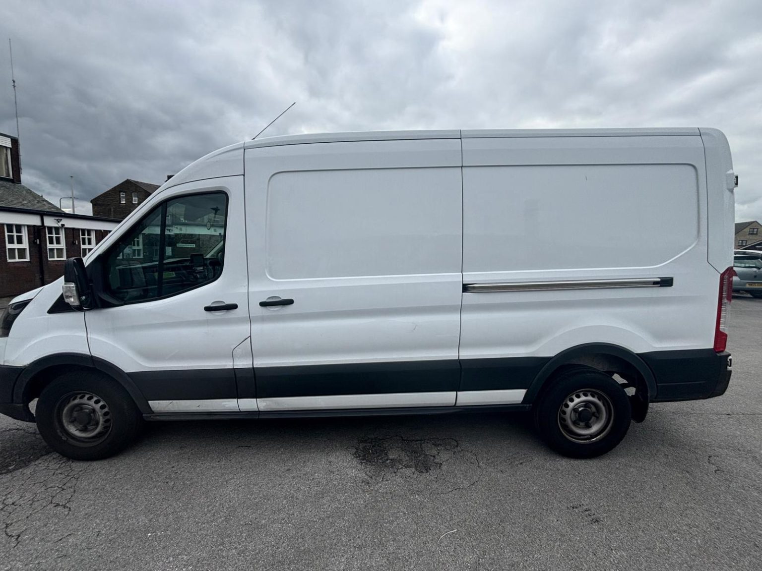
One- and two-bed homes moved with a driver and a Transit LWB van; bigger homes go in two loads.
Learn moreFlat & Apartment Removals
Lifts, stairs, loading bays and building paperwork planned before the van arrives.
Learn moreFurniture & Large Item Transport
Wardrobes, tables and bulky items moved from A to B without a full removals package.
Learn moreAppliance Delivery
Washing machines, fridges and cookers moved, secured and placed in your kitchen.
Learn moreMarketplace & eBay Collection
Bought it on Marketplace, eBay or Gumtree? We collect from the seller and bring it to you.
Learn moreStudent Removals
Halls, shared houses and home again, priced for a room's worth of belongings.
Learn moreEvery service we offer near Greenhow
All 11 services run to Greenhow, each with its own page.
Common Greenhow routes
- Greenhow → Pateley Bridgeeast down the B6265 Greenhow Hill, steep and slow, about 3 miles
- Greenhow → Grassingtonwest on the B6265 over the summit between Nidderdale and Wharfedale, about 7.5 miles
- Greenhow → BradfordDuck Street Lane, Redlish Road and Sandy Gate south over the moor past Thruscross, Meagill Lane down to the A59, then the B6451 through Norwood and the A658 by Pool
Frequently asked questions: man with a van in Greenhow
Where does a long van turn on Greenhow Hill?
In your own drive or yard if it has room, because the B6265 has almost no side streets and no pavement to turn in. Tell us whether your drive or yard lets a long van turn, or whether it should pull in forwards and reverse out, so the stop is planned before the day.
Is the hill down to Pateley Bridge a problem with a loaded van?
It is steep, between 16 and 19 per cent, and has a record of accidents, especially involving cyclists, so allow for a slow descent at the end of the day. In snow or ice the alternative is the moor road south by Duck Street Lane to the A59, which is longer but avoids the descent.
Should I keep a spare date for a winter move to Greenhow?
It is sensible. Greenhow is one of the highest villages in Yorkshire, and both ways out, the B6265 and the moor road by Duck Street Lane, cross open high ground. Book a weekday if you can and keep a second date in mind between November and March.
Areas near Greenhow we cover
This place has its own page, with local detail and how the van gets there.
Nearby areas
Where the local details on this page come from
Checked on 1 October 2026 against:
- postcodes.io (ONS data): postcode, ward and parish lookups for HG3 5JH
- Greenhow (Wikipedia): Greenhow Hill, three miles west of Pateley Bridge, altitude 1,310-1,380 ft
- Listed buildings in Bewerley (Wikipedia, from the National Heritage List): Duck Street Cottage, 1673, gritstone row
- Stump Cross Caverns (Wikipedia): the caverns lie beneath Greenhow Hill
- OpenStreetMap: street map, road data and driving routes
- HG postcode area (Wikipedia, from Royal Mail): HG2 and HG3 post town Harrogate, HG4 Ripon, HG5 Knaresborough
- Greenhow (Wikipedia), re-read: one of the few UK villages above 1,300 feet; B6265 descent to Pateley Bridge 16 to 19 per cent