
Moving in Boulderclough: what to know first
Boulderclough is stone farmhouses and cottages, with a few semis and detached houses, spread along hillside lanes rather than streets. Acre Lane is only about 3 metres wide and Shield Hall Lane about 3.5, and Sowerby Lane, up towards Sowerby, is about 4 metres wide with no pavement. On lanes like these the van fills the road, so it needs a yard, drive or gateway to stand in while loading. Tell us which you have, with a photo.
The van's usual way in is from Sowerby Bridge by Sowerby New Road and Pinfold Lane, rather than the climb from Burnley Road. Several drives off the lanes are private, so if your house is down a shared track, check with the neighbours that the van can turn there. These are exposed hillside lanes, so for a winter move we will talk through the weather before the day.
Boulderclough: the local picture
The building people notice first is Boulder Clough Bethel Chapel of 1897, Grade II listed, with a round tower at each end and two flights of steps up from its gates. Around it the older houses are stone farmhouses and cottages, several of them listed: Shield Hall Bakery and its barn from the 17th century, Jack Hey Farmhouse, Hey End Farmhouse of 1777, and Swamp Cottage, a former watermill that became a house. The village pub closed years ago; the nearest one is up at Sowerby Castle Hill.
Pinfold Lane runs through the hamlet, with Styes Lane, Finkle Street, Row Lane and Broad Lane close by and Jack Hey Farm and Styes Farm on the lanes around it. Sowerby lies up the hill to the south, and the Calder valley, with Burnley Road and the canal, is below to the north.
How the van gets to Boulderclough
Below the village, Burnley Road (the A646) runs along the valley floor past Tenterfields Business Park and Longbottom Bridge, next to the Rochdale Canal and the River Calder. From Bradford the van comes out through Halifax and along the A646, then turns off to climb the south side of the valley on the minor lanes. Allow roughly 30 to 45 minutes from Bradford, more if the valley road is slow.
Man and van services in Boulderclough
Each card opens our Sowerby Bridge page for that service.
House Removals
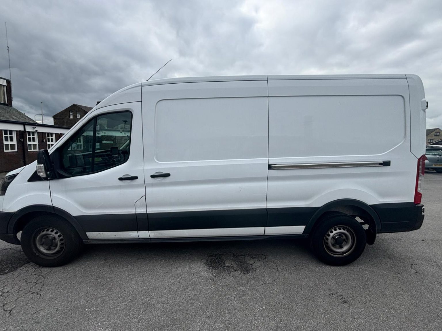
One- and two-bed homes moved with a driver and a Transit LWB van; bigger homes go in two loads.
Learn moreFlat & Apartment Removals
Lifts, stairs, loading bays and building paperwork planned before the van arrives.
Learn moreFurniture & Large Item Transport
Wardrobes, tables and bulky items moved from A to B without a full removals package.
Learn moreAppliance Delivery
Washing machines, fridges and cookers moved, secured and placed in your kitchen.
Learn moreMarketplace & eBay Collection
Bought it on Marketplace, eBay or Gumtree? We collect from the seller and bring it to you.
Learn moreStudent Removals
Halls, shared houses and home again, priced for a room's worth of belongings.
Learn moreEvery service we offer near Boulderclough
All 11 services run to Boulderclough, each with its own page.
Common Boulderclough routes
- Boulderclough → Sowerby BridgePinfold Lane, Sowerby New Road and Sowerby Street down to the A58 West Street, about 1.9 miles
- Boulderclough → Halifaxdown to Sowerby Bridge, then the A58 up Bolton Brow, Pye Nest Road (A6142) and Rochdale Road, about 4.2 miles
- Boulderclough → Bradfordthe A58 through Sowerby Bridge and Halifax, then Claremount and Swales Moor Road to the A647 at Queensbury, roughly 30 to 45 minutes
Frequently asked questions: man with a van in Boulderclough
Is a Boulderclough address HX2 or HX6?
It can be either. The postcode nearest the hamlet itself is HX6 1NQ, while the valley-floor postcodes by Longbottom Bridge, such as HX2 6EH, are HX2. Both sit in the Luddendenfoot ward, so give the full postcode and the lane name when you book.
Is Acre Lane wide enough for a long wheelbase van?
Only just. Acre Lane is about 3 metres wide, so the van can drive along it but cannot stand on it without closing the lane. If your house is on Acre Lane, tell us where there is a yard or gateway the van can pull into while it is loaded.
Does the van come up from the valley or across from Sowerby?
Usually across from Sowerby Bridge, by Sowerby New Road and Pinfold Lane. The HX2 homes down by the river are reached from Burnley Road, the A646, over Longbottom Bridge, so the postcode decides which way the van comes.
Nearby areas
Where the local details on this page come from
Checked on 1 October 2026 against:
- postcodes.io (ONS data): postcode, ward and parish lookups for HX2 6EH, HX6 1NQ, HX6 1NH and HX2 6JW
- Boulderclough (Wikipedia): small village between Sowerby and Mytholmroyd, about 3 miles west of Halifax, Grade II listed Methodist chapel
- Listed buildings in Luddendenfoot (from the National Heritage List): Boulder Clough Bethel Chapel 1897 and its steps and gates, Shield Hall Bakery and barn, Jack Hey Farmhouse
- OpenStreetMap: street map, road data and driving routes