
Moving in Whitkirk: what to know first
Whitkirk mixes detached houses, semis and terraces. The older terraces on Hollyshaw Street, Hollyshaw Terrace, Carter Mount and Carter Terrace have back lanes behind them, such as Back Carter Mount and Back Hollyshaw Terrace, and for a house with a narrow front the back lane can be the easier way to the door. The closes towards Colton are block-paved with small turning heads, and Queensway runs one way. Send a photo of the front and the back and we will pick the side.
Selby Road, the B6159, is the busy road, with the Brown Cow, the Premier Inn and the Co-op on it, so the van does not stand there; for a house on Selby Road it uses the nearest side street. The ring road at the Skyliner Roundabout is a 40 mph road, so the van leaves it before it stops. Whitkirk Primary and Temple Moor High School bring school-run traffic on weekdays, so say if you would rather start after nine.
Away from the main road the residential streets are 20 mph, and the van can usually stop outside, on the closes towards Colton as well as on the terraces. Cross Gates, about a mile up Hollyshaw Lane, has the nearest station and the bigger shops, which helps if someone is travelling separately to meet the van. Garforth is about 3 miles east along Selby Road, and the M1 at junction 46 is close by, so a move out of Leeds altogether starts on main roads.
Whitkirk: the local picture
St Mary's Church, a Grade I building with a Grade II lychgate, is the landmark. It stands by Colton Road near Pendil Close, Lennox Gardens and Darcy Court, with the church community centre and Whitkirk Manor House close by.
On Selby Road are the Brown Cow with a Premier Inn beside it, a Co-op, a pharmacy and other shops, and a few hundred yards towards Halton is the Temple Newsam War Memorial. Houses run from terraces to semis and detached homes, and Hollyshaw Lane links Whitkirk with Cross Gates, where the nearest station is.
How the van gets to Whitkirk
Selby Road is the main road, and it used to be the A63. Since the East Leeds Orbital Route opened in 2022, the old ring road section here has been numbered B6902, and the part through Halton is the B6159. From the M1 at junction 46 the van follows Selby Road west to the Skyliner Roundabout, then turns off for Colton Road or Hollyshaw Lane.
What we move in Whitkirk
Each card opens our Garforth page for that service.
House Removals
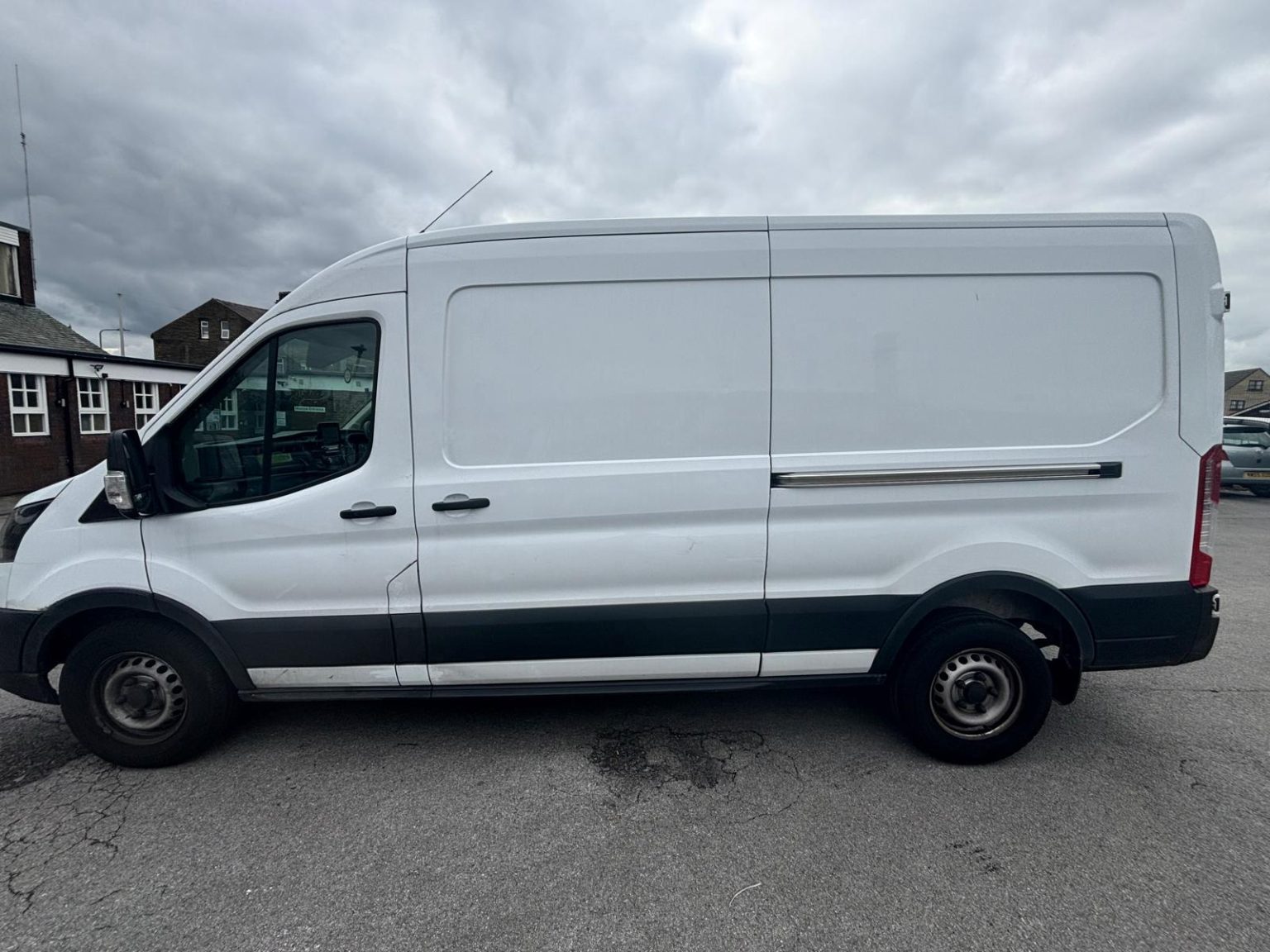
One- and two-bed homes moved with a driver and a Transit LWB van; bigger homes go in two loads.
Learn moreFlat & Apartment Removals
Lifts, stairs, loading bays and building paperwork planned before the van arrives.
Learn moreFurniture & Large Item Transport
Wardrobes, tables and bulky items moved from A to B without a full removals package.
Learn moreAppliance Delivery
Washing machines, fridges and cookers moved, secured and placed in your kitchen.
Learn moreMarketplace & eBay Collection
Bought it on Marketplace, eBay or Gumtree? We collect from the seller and bring it to you.
Learn moreStudent Removals
Halls, shared houses and home again, priced for a room's worth of belongings.
Learn moreEvery service we offer near Whitkirk
All 11 services run to Whitkirk, each with its own page.
Common Whitkirk routes
- Whitkirk → Leeds city centreSelby Road (B6159) through Halton, then York Road (A64) into the centre, about 5.6 miles
- Whitkirk → GarforthSelby Road east past the Skyliner Roundabout on the B6902, then the A63 and Lidgett Lane (B6137), about 3 miles
- Whitkirk → BradfordSelby Road and York Road (A64) into Leeds, the Inner Ring Road and Wellington Road, then the A647 through Stanningley, roughly 30 to 45 minutes
Frequently asked questions: man with a van in Whitkirk
My old directions say the A63 through Whitkirk. Are they wrong?
They are out of date. Selby Road between junction 46 of the M1 and the Skyliner Roundabout was the A63, became the A6120 in 2001 and is now part of the B6902. The road itself is the same, so a postcode is the safest thing to give.
Which schools are in Whitkirk?
Whitkirk Primary School and Temple Newsam Halton Primary School, with Temple Moor High School for secondary. Check the admissions rules with Leeds City Council, as catchments do not follow the suburb's name.
Can the van use the back lane behind my terrace?
Often, yes. Streets such as Back Carter Mount and Back Hollyshaw Terrace are service lanes behind the houses. Send a photo of the lane and we will say whether the van fits.
Is Whitkirk handy for a move to Garforth?
Yes, it is about 3 miles east along Selby Road, the A63 and Lidgett Lane, so a move between the two is a short local run. Give both full postcodes when you ask for a price.
Nearby areas
Where the local details on this page come from
Checked on 19 October 2026 against:
- postcodes.io (ONS data): postcode, ward and parish lookups for LS15 9AA
- Whitkirk: suburb of east Leeds between Cross Gates, Austhorpe, Killingbeck, Colton and Halton
- St Mary's Church, Whitkirk: church on the site since 1185, 15th-century origin, Grade I, lychgate 1949 Grade II, tomb of John Smeaton
- Leeds Outer Ring Road: former A63 from M1 J46 to the Skyliner roundabout redesignated A6120 in 2001
- OpenStreetMap: street map, road data and driving routes