
Moving in Potternewton: what to know first
Two kinds of street make up most of Potternewton. The Victorian terraces, such as the Sholebroke and St Martins roads, have narrow back lanes behind them; Back Sholebroke Mount is a single lane under three metres wide, and Back Newton Grove is still setts. A long van loads from the front on streets like these, so tell us whether the front door opens straight onto the pavement or up steps.
The other is the private estate built on the grounds of Newton Hall and Potternewton Hall before the Second World War, around streets such as Newton Lodge Drive and Newton Garth. There, send a photo of the drive and gateway so we know where the van can stand. Almost every residential street in the area is 20 mph, with dozens of speed humps, so allow a little longer on the way in and out.
The boundary roads are the ones to avoid stopping on: Scott Hall Road, the A61, is fast in places, and Harehills Lane, the B6159, is one-way in places. If your house faces one of them, say which side street is nearest and the van waits there. Hillcrest Academy and Bracken Edge Primary are among the houses, so on their streets a start after the morning drop-off is easier.
Potternewton: the local picture
The name matters when you book. Potternewton was a township and then a civil parish until 1904, and the Church of England still uses it for St Martin's parish, but Leeds City Council now calls much of the same ground Chapeltown. Royal Mail lists streets around Oak Road and St Mary's Close as Potternewton. If your letters say one and your satnav says the other, give the full postcode and street and it makes no difference to the van.
Much of the housing grew on old estates. From 1856 the Lupton family laid out the Newton Park Estate around Newton Grove, with Sholebroke Avenue added by the 1880s, and the St Mary's Road conservation area on that estate dates from 1974. Back-to-back terraces went up on the Jowitt land, while Potternewton Park opened in 1906 in the old house's grounds. Newton Road, Newton Park View and Newton View sit between the park and Chapeltown Road, and many terraces here have back lanes, so say whether the front or the back is the better door for loading.
Mill Field Primary Academy, once Potternewton Primary School, is on Potternewton Mount, and St Martin's Church stands off Chapeltown Road. Potternewton Park is where the Leeds Carnival procession starts and finishes each August bank holiday, so a move that weekend needs planning around the carnival.
How the van gets to Potternewton
From Bradford the van comes into Leeds on the A647, then leaves the centre northwards by Sheepscar Interchange. Scott Hall Road, the A61, forms the western edge of Potternewton and Roundhay Road the eastern one, with Harehills Lane across the top. Potternewton Lane meets Scott Hall Road at a roundabout on the north-west side. Allow roughly 25 to 40 minutes from Bradford, as an estimate that moves with the city-centre traffic.
What we move in Potternewton
Each card opens our Leeds page for that service.
House Removals
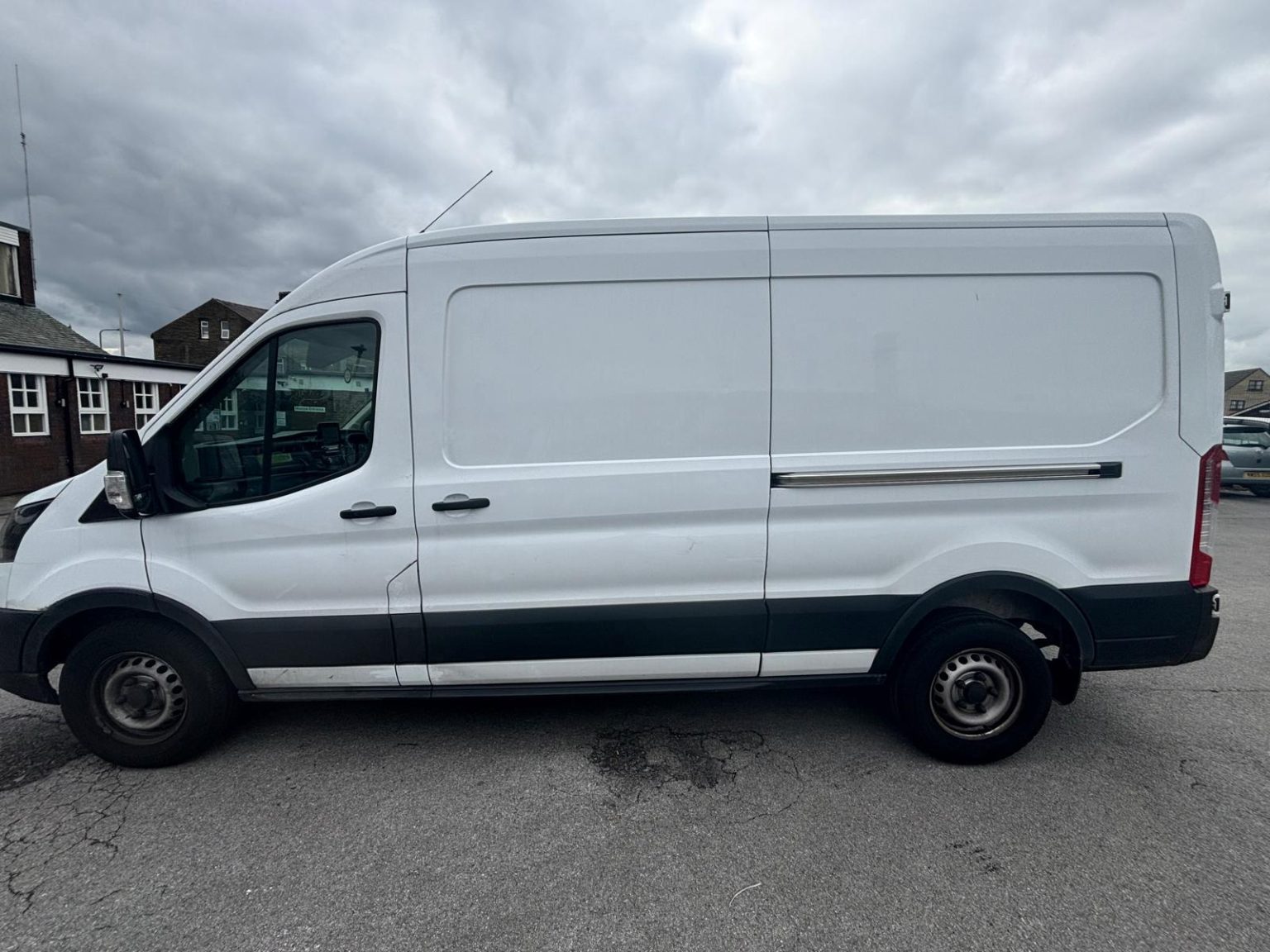
One- and two-bed homes moved with a driver and a Transit LWB van; bigger homes go in two loads.
Learn moreFlat & Apartment Removals
Lifts, stairs, loading bays and building paperwork planned before the van arrives.
Learn moreFurniture & Large Item Transport
Wardrobes, tables and bulky items moved from A to B without a full removals package.
Learn moreAppliance Delivery
Washing machines, fridges and cookers moved, secured and placed in your kitchen.
Learn moreMarketplace & eBay Collection
Bought it on Marketplace, eBay or Gumtree? We collect from the seller and bring it to you.
Learn moreStudent Removals
Halls, shared houses and home again, priced for a room's worth of belongings.
Learn moreEvery service we offer near Potternewton
All 11 services run to Potternewton, each with its own page.
Common Potternewton routes
- Potternewton → Leeds city centreChapeltown Road south to Sheepscar, then the A61 into the centre, about 2.3 miles
- Potternewton → HarrogateChapeltown Road, Harrogate Road and King Lane to the A61 Scott Hall Road, then the A61 north all the way, about 14 miles
- Potternewton → BradfordChapeltown Road and Clay Pit Lane onto the A58(M) Inner Ring Road, then the A647 out through Stanningley, roughly 25 to 40 minutes
Frequently asked questions: man with a van in Potternewton
Why do some letters say Potternewton and others Chapeltown?
Because the two names have become interchangeable for this part of LS7. Ordnance Survey and the Church of England use Potternewton, while Leeds City Council uses Chapeltown. For booking, the street and postcode are what count.
Can a move go ahead on Leeds Carnival weekend?
The carnival procession starts and finishes in Potternewton Park over the August bank holiday weekend. Tell us the date when you ask for a price, and we can talk through timing or a different day.
Can the van use the back lane behind a Sholebroke terrace?
Rarely. Back lanes such as Back Sholebroke Mount are a single lane, under three metres wide, so a long van would block it and struggle to turn. The van loads from the street at the front, and anything kept in a back yard is carried through.
Also covered around Potternewton
Chapeltown.
Nearby areas
Where the local details on this page come from
Checked on 1 October 2026 against:
- postcodes.io (ONS data): postcode, ward and parish lookups for LS7 4RE and LS7 4EE
- Potternewton (Wikipedia): bounded by Scott Hall Road, Roundhay Road and Harehills Lane; Chapeltown Road; civil parish to 1904
- Chapeltown, Leeds (Wikipedia): the names Chapeltown and Potternewton interchangeable; Ordnance Survey
- A647 road (Wikipedia): Leeds to Bradford city centre via Stanningley and Pudsey
- OpenStreetMap: street map, road data and driving routes