
Moving in Brotherton: what to know first
Church Street, High Street and Low Street, the old streets, have pavements, and Church Street is lit, so the van pulls in at the kerb there. Low Street carries a 14ft 6in height limit, well above the van, and Vicars Croft is a shared-surface living street. Tappers Gardens is a new road still being built, so its addresses may not be on every satnav; give the plot number as well.
The A162 Ferrybridge By-Pass and the A1246 Great North Road pass close by as fast dual carriageways, so the van never stops on them and comes off into High Street or Church Street instead. Across the Aire, Ferrybridge and Knottingley are West Yorkshire, so a move over the river is a short trip that still changes council: tell North Yorkshire Council and Wakefield Council both, for council tax and bins, once the date is fixed.
Brotherton: the local picture
The old village is around Church Street, High Street, Low Street and Gauk Street, with the parish church of St Edward the Confessor, the United Reformed Church and the war memorial. Hall Court, Vicars Croft, Ramsden Close, Norfolk Close, The Rise, Aire View and Foxcliff are the closes.
Brotherton was on the A1, 2 miles north of Knottingley, until the road was moved, and it was linked to Ferrybridge by the Grade I listed Ferry Bridge. The village is now on the A162, south of Fairburn, and for a house on one of the closes, give the close name as well as the street it leads off.
How the van gets to Brotherton
Junction 33 of the M62 serves the A162 and the A1, and Ferrybridge is where the Great North Road crossed the Aire. The A162 continues north past Brotherton; the Old Great North Road and the A1246 Great North Road are the other roads the van may use, with High Street and Church Street into the village.
Removals and deliveries in Brotherton
Each card opens our Castleford page for that service.
House Removals
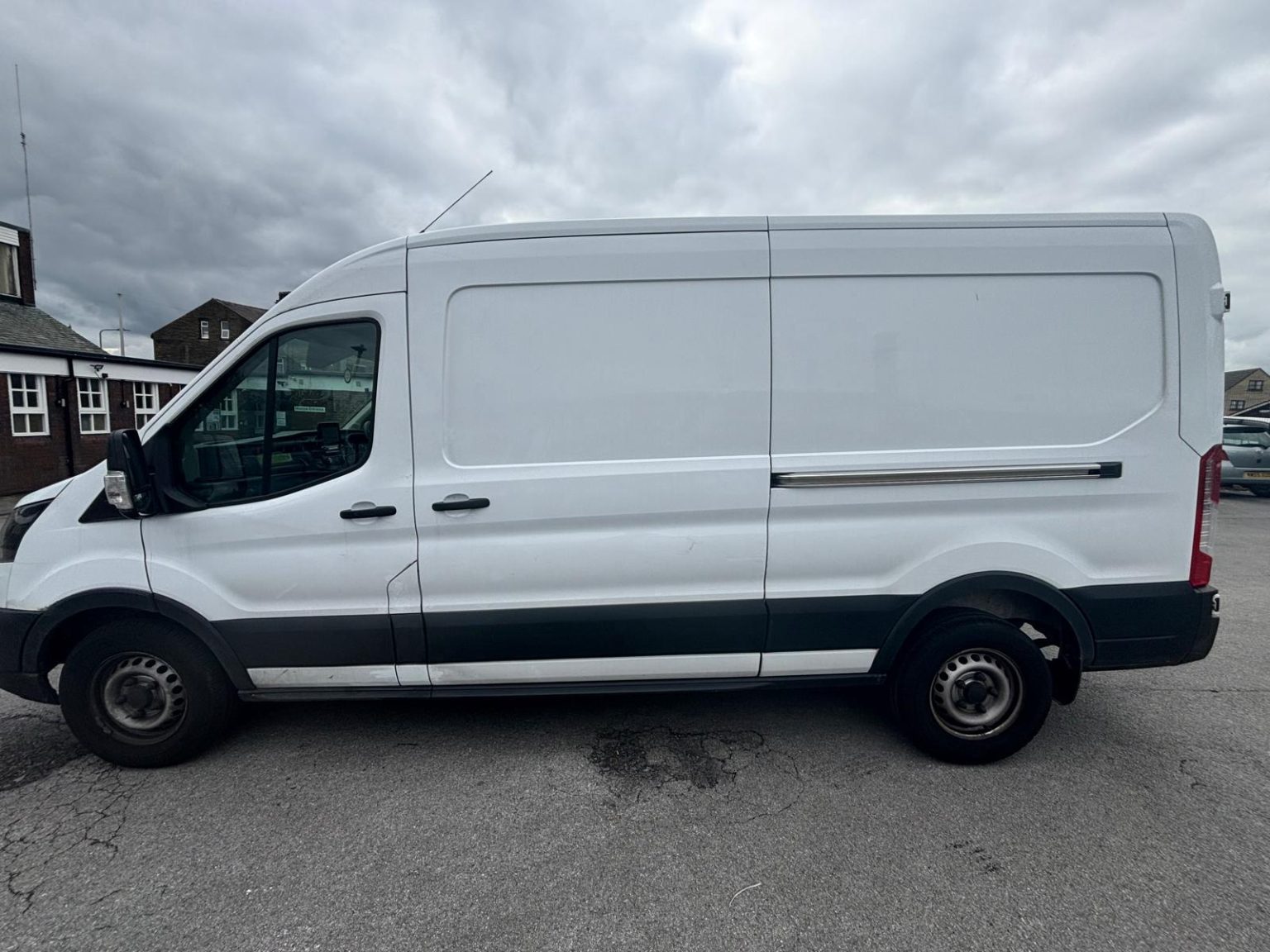
One- and two-bed homes moved with a driver and a Transit LWB van; bigger homes go in two loads.
Learn moreFlat & Apartment Removals
Lifts, stairs, loading bays and building paperwork planned before the van arrives.
Learn moreFurniture & Large Item Transport
Wardrobes, tables and bulky items moved from A to B without a full removals package.
Learn moreAppliance Delivery
Washing machines, fridges and cookers moved, secured and placed in your kitchen.
Learn moreMarketplace & eBay Collection
Bought it on Marketplace, eBay or Gumtree? We collect from the seller and bring it to you.
Learn moreStudent Removals
Halls, shared houses and home again, priced for a room's worth of belongings.
Learn moreEvery service we offer near Brotherton
All 11 services run to Brotherton, each with its own page.
Common Brotherton routes
- Brotherton → CastlefordChurch Street and Low Street to the A162 Ferrybridge By-Pass, then the B6136 through Ferrybridge
- Brotherton → SelbyGauk Street to the Old Great North Road, the A162 London Road north, then the A63
- Brotherton → Bradfordthe A162 south to junction 33, then the M62 west to Bradford, roughly 40 to 50 minutes
Frequently asked questions: man with a van in Brotherton
Is Brotherton part of Ferrybridge?
No. Brotherton is across the Aire in North Yorkshire, so North Yorkshire Council handles bins and council tax, while Ferrybridge on the other bank is Wakefield.
Will the van fit under the height limit on Low Street in Brotherton?
Yes. Low Street is signed at 14ft 6in, which is set for high lorries, and a Transit van passes under it easily.
Is Tappers Gardens in Brotherton a new street?
Yes, it is a new road still being built. Give the plot number as well as the postcode, so the van finds it first time even if the satnav does not know it yet.
Where the local details on this page come from
Checked on 1 October 2026 against:
- postcodes.io (ONS data): postcode, ward and parish lookups for WF11 9LG
- Brotherton: village and civil parish on the border with the City of Wakefield formed by the River Aire
- Ferrybridge: West Yorkshire village in the Knottingley ward of Wakefield, crossing of the Aire bordering Brotherton
- M62: junction 33 serves the A162 and A1 (Wikipedia)
- OpenStreetMap: street map, road data and driving routes