
Moving in Boothroyd: what to know first
Boothroyd sits on the slope between Dewsbury Moor and the town centre, and its streets fall to the south and east, down towards Huddersfield Road and the river. Homes are a mix of older streets, such as Hanover Street and the St John streets, and closes such as Park Croft and Unity Court. Nearer the town, Greenwood Street is still cobbled. Tell us if there are steps between the pavement and your door, as the slope often puts them there.
Boothroyd Lane is the local through road and Moorlands Road carries traffic on towards the town centre, so a house facing either is loaded from the nearest side street when the kerb is lined with cars. On the town side the one-way roads matter: Webster Hill and Pinfold Hill are one-way and steep, and Stockhill Street is one-way too, so the van may arrive by one street and leave by another.
With four schools within a short walk, Boothroyd Primary Academy, St John's CE Primary, St John Fisher and Westborough High School, the roads around Boothroyd Lane fill at the start and end of the school day, with parents parked along the kerbs. Moving between about half past nine and half past two avoids the worst of it, and leaves room for the van to stop close to the door.
Boothroyd: the local picture
St John's Church, a Commissioners' church of 1823-27, is the oldest landmark and is listed Grade II. The St John streets (St John Close, Street, Walk and Parade) are close by. Crow Nest Park is right beside the district, with the Boothroyd Gate entrance, the listed war memorial and Crow Nest House, an early 18th-century mansion in the park.
Other streets here include Park Croft, Hanover Street, Oastler Street, Burking Road, Speakers Court, Unity Court and Moorlands Road. St John Fisher Catholic Voluntary Academy and Westborough High School are both close to Boothroyd Lane, and Boothroyd Primary Academy and St John's CE Primary School are within the district too.
How the van gets to Boothroyd
Boothroyd Lane runs through from Dewsbury Moor towards the town centre, and Moorlands Road is the other local road. The A638 Halifax Road and the A644 Huddersfield Road both pass nearby. From Bradford the van comes by the A638 through Cleckheaton and Heckmondwike, or by the M606 and M62.
Removals and deliveries in Boothroyd
Each card opens our Dewsbury page for that service.
House Removals
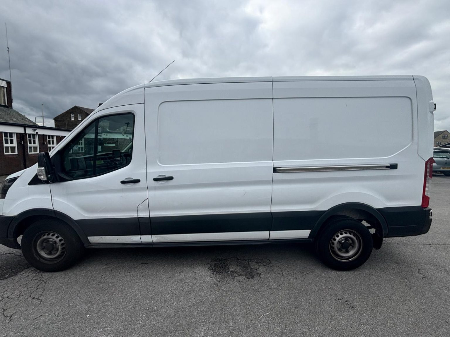
One- and two-bed homes moved with a driver and a Transit LWB van; bigger homes go in two loads.
Learn moreFlat & Apartment Removals
Lifts, stairs, loading bays and building paperwork planned before the van arrives.
Learn moreFurniture & Large Item Transport
Wardrobes, tables and bulky items moved from A to B without a full removals package.
Learn moreAppliance Delivery
Washing machines, fridges and cookers moved, secured and placed in your kitchen.
Learn moreMarketplace & eBay Collection
Bought it on Marketplace, eBay or Gumtree? We collect from the seller and bring it to you.
Learn moreStudent Removals
Halls, shared houses and home again, priced for a room's worth of belongings.
Learn moreEvery service we offer near Boothroyd
All 11 services run to Boothroyd, each with its own page.
Common Boothroyd routes
- Boothroyd → DewsburyBoothroyd Lane and Moorlands Road, then Ashworth Road and Wellington Street into the centre, about 0.9 miles
- Boothroyd → BatleyMoorlands Road and Willans Road to the A638 Halifax Road and the ring road, then the A652 Bradford Road, about 2.5 miles
- Boothroyd → BradfordStaincliffe Road and Church Lane to the B6117, the A638 through Heckmondwike and Cleckheaton, then the M606, roughly 25 to 40 minutes
Frequently asked questions: man with a van in Boothroyd
Which gate of Crow Nest Park is nearest to Boothroyd?
The Boothroyd Gate. The park also has a West Town Gate and a Burgh Lane Gate, so if you give the park as a meeting point, name the gate and the van will stop at the right side.
Is Boothroyd the same place as Westborough?
No, they are neighbours. Westborough lies just to the north, around Westborough High School, while Boothroyd is centred on Boothroyd Lane and the north side of Crow Nest Park. Both are in the Dewsbury West ward of Kirklees with WF13 postcodes, so give the street and postcode rather than the area name.
Is it uphill from Dewsbury town centre to Boothroyd?
Yes. The town centre is lower, and the roads up, including Webster Hill and Pinfold Hill, are steep and one-way. Boothroyd Lane sits higher again towards Dewsbury Moor, so allow for a slope between the van and the door on most streets.
Also covered around Boothroyd
Westborough.
Nearby areas
Where the local details on this page come from
Checked on 1 October 2026 against:
- postcodes.io (ONS data): postcode, ward and parish lookups for WF13 2LN and WF13 4LP
- Boothroyd (Wikipedia): west of Dewsbury, a primary school, St John's church
- Listed buildings in Dewsbury (Wikipedia, from the National Heritage List): St John's Church, Boothroyd, 1823-27 by Thomas Taylor; Boothroyd Gate, Burgh Lane Gate and West Town Gate
- Dewsbury (Wikipedia): Dewsbury Museum in the mansion house in Crow Nest Park until November 2016
- OpenStreetMap: street map, road data and driving routes